[Skip to main content]
View of Menaggio from the Sanctuary of the Madonna della Pace at Nobiallo

Menaggio and its villages itinerary

Hikes

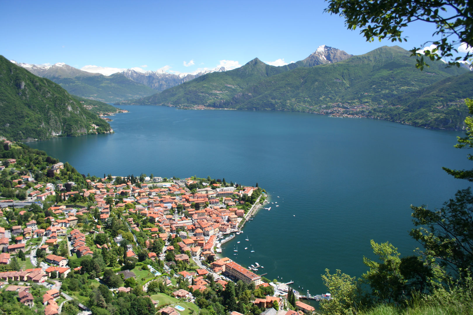
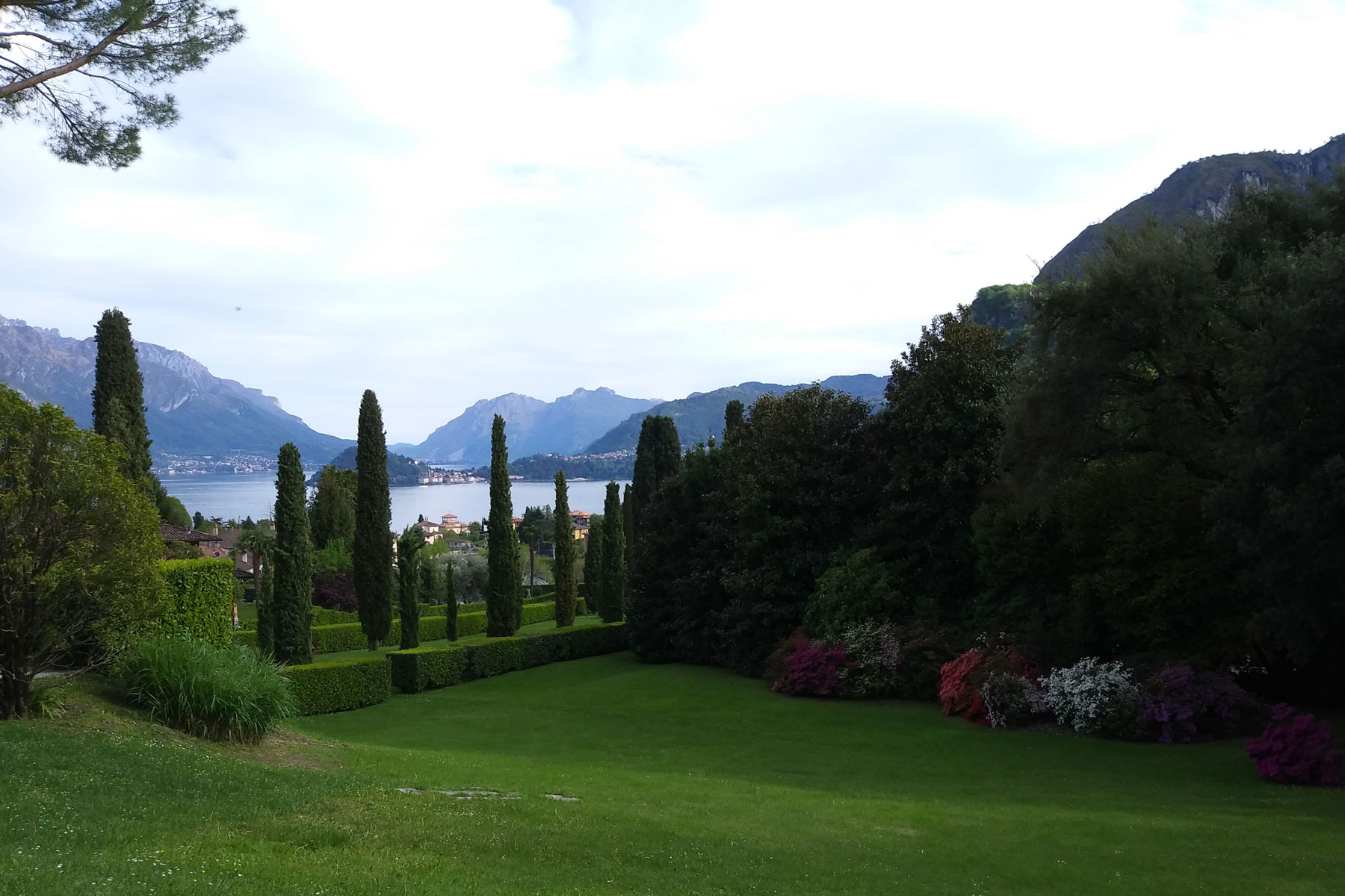
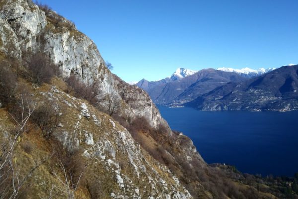
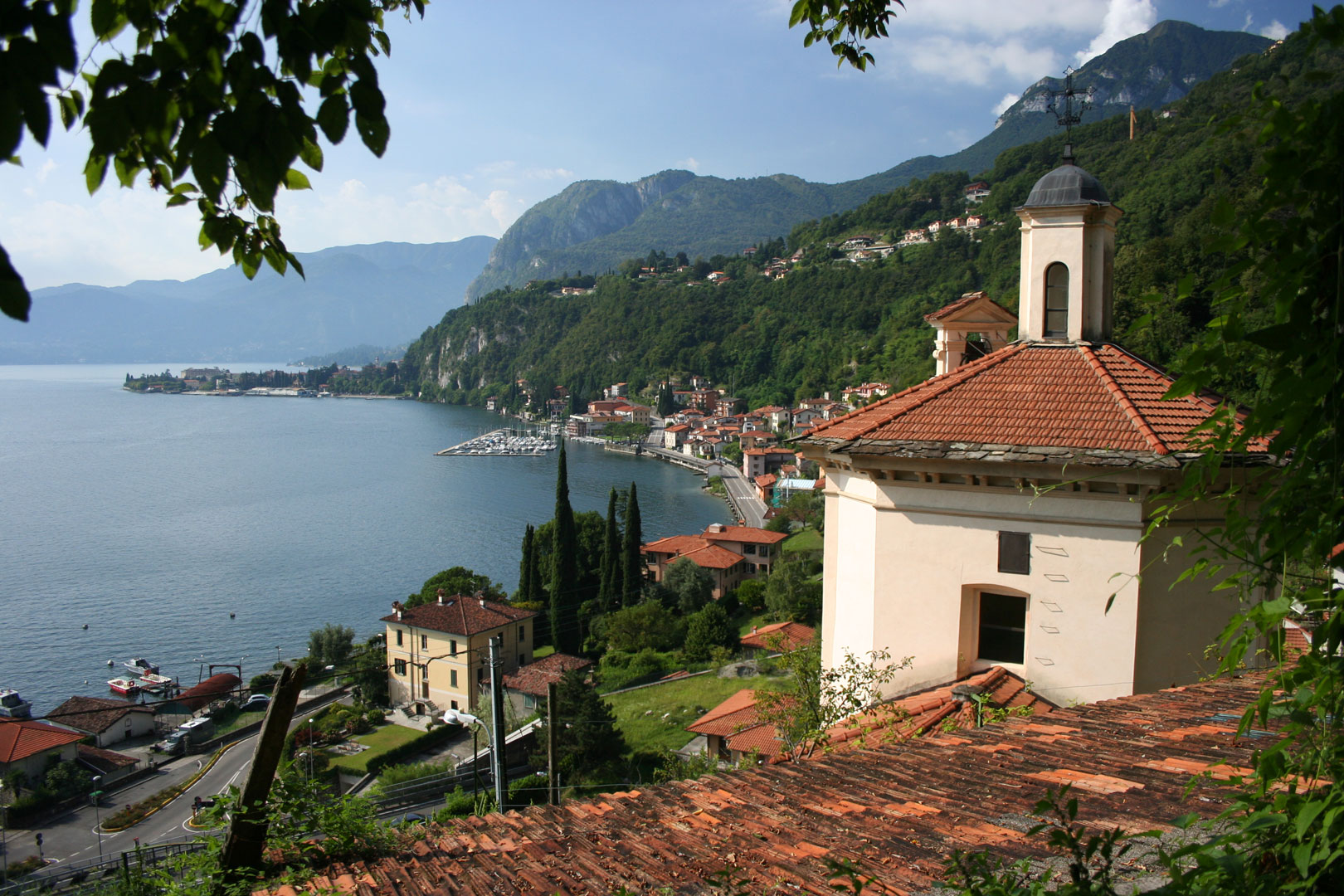
This pleasant ring itinerary starts from the center of Menaggio, and leads to the discovery of the villages of Croce, Loveno and Nobiallo, offering beautiful views of the center of the lake.

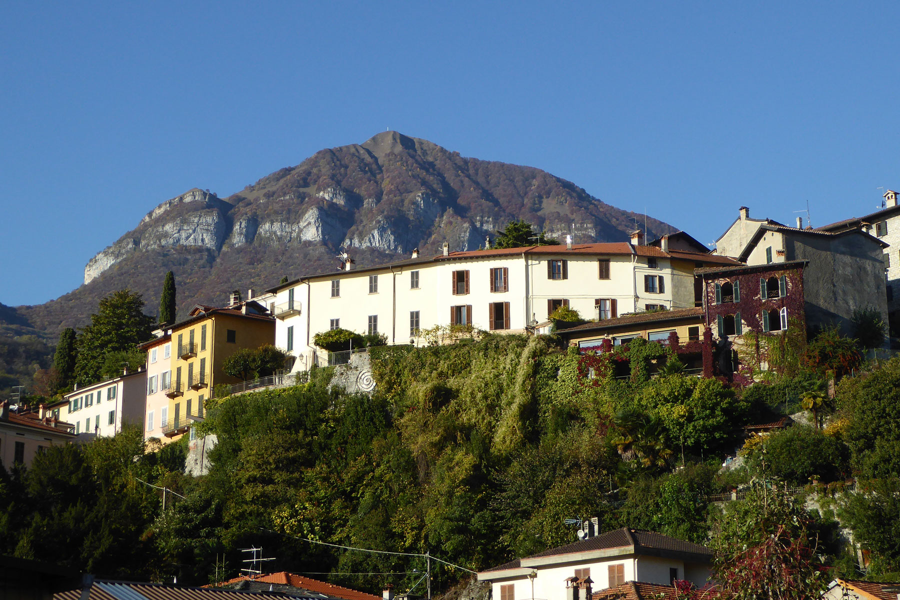
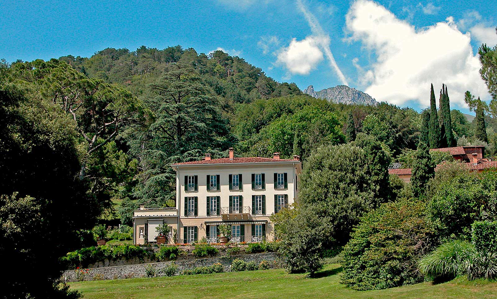
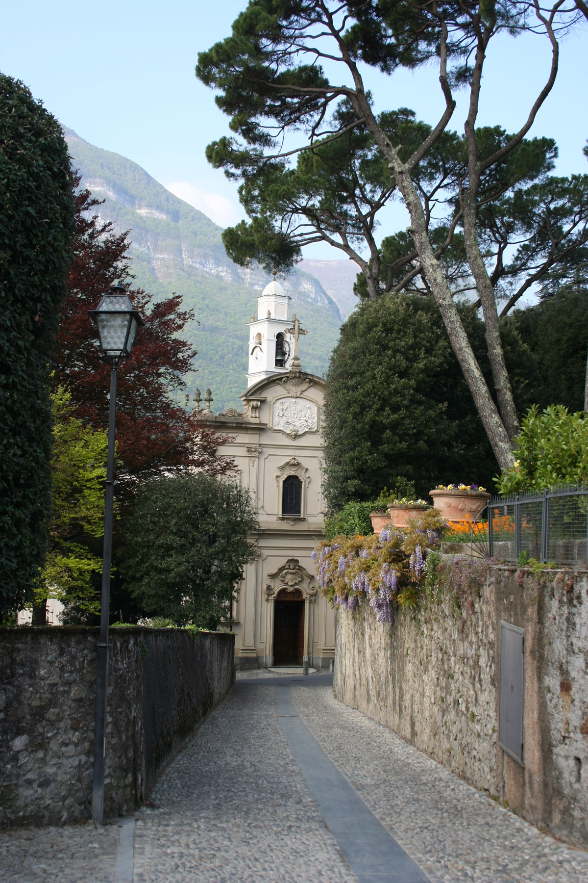
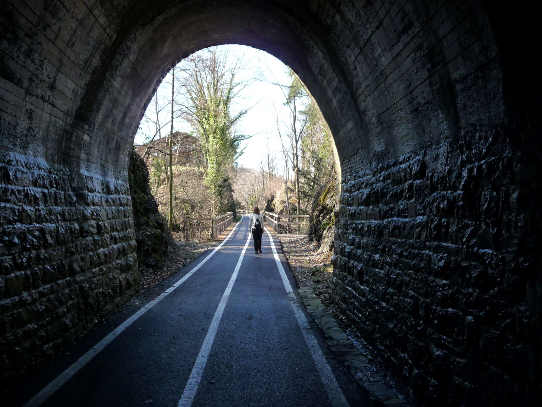
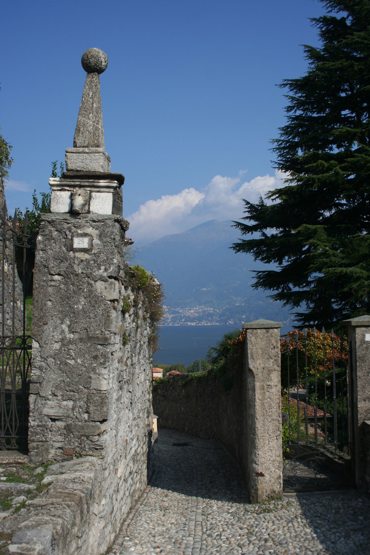
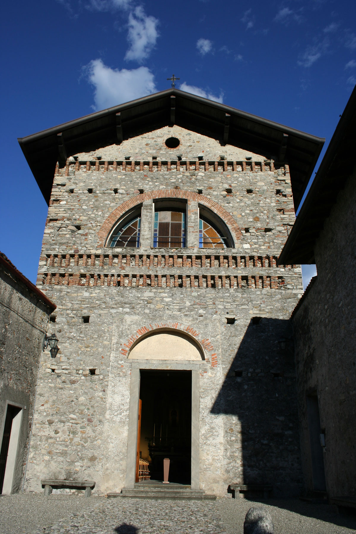
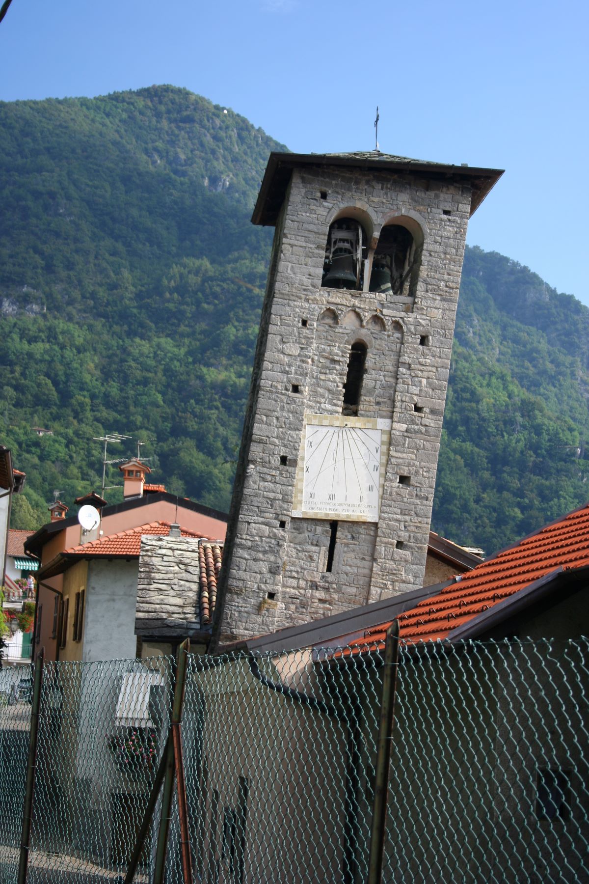
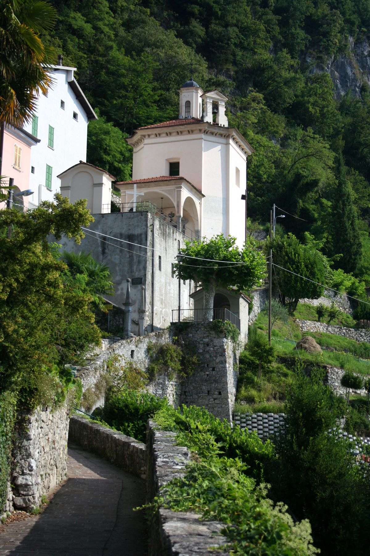
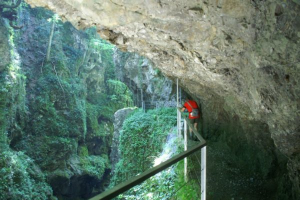
We will follow the traces of the former railway, which connected Menaggio to Porlezza from 1884 to 1939, we will discover the trenches dug during the First World War on Mount Crocetta, the remains of the Castle of Menaggio destroyed in 1523, the charming village of Loveno with its beautiful villas and finally we will visit Nobiallo, a typical fishing village nestled along the shore of the lake and crossed by a historical section of the Ancient Via Regina, reaching the Sanctuary of the Madonna della Pace, a place of artistic and religious interest and a panoramic point of great beauty.

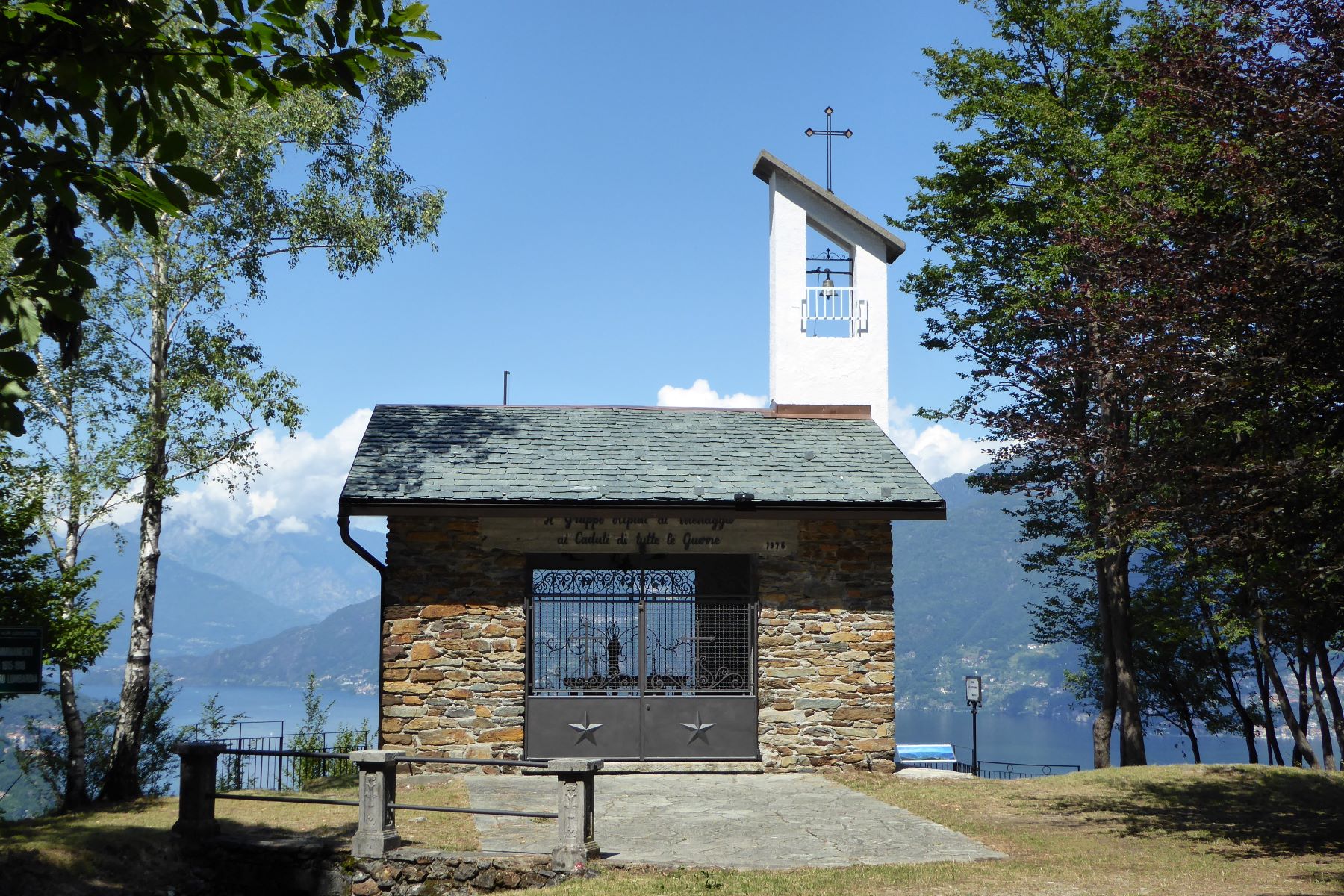
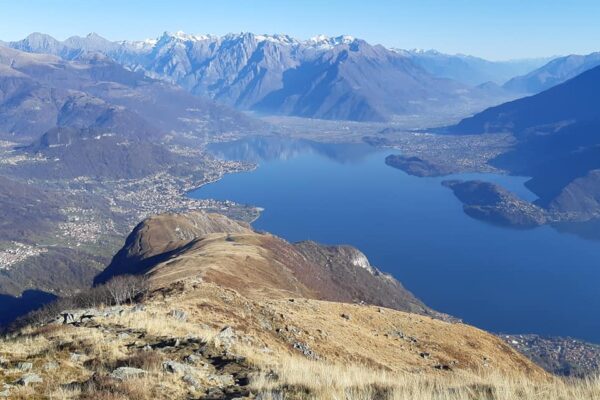
Along the route you can choose whether to follow the long and more challenging itinerary, reaching the Chapel of the Alpini with the belvedere over Menaggio and the center of the lake and see the trenches built during the First World War, or follow the shorter road that leads directly to the village of Croce.

Description

From Piazza Garibaldi you walk to the lake-side front and continue to the right along via Mazzini. Right at the beginning of this street, above the arch of an ancient house with a typical portico that houses a fishmonger, you notice a painting by the local painter Bruno Azimonti depicting the ” Miraculous Catch of Fish”, a tribute to one of the historically most important activities of the inhabitants around the lake. You pass in front of the small harbor to continue along via IV Novembre.

Just past the historical Grand Hotel Menaggio you reach the former railway station of the Menaggio – Porlezza railway line which today houses a grocery store.
The railway line between Menaggio and Porlezza, was opened in 1884, in order to attract more tourists from northern Europe to the lake area. Arriving by train in Lugano, the passengers were then transported by steamboat to Porlezza from where the train brought them to Menaggio. After World War I it became a simple working class transit system that lasted until 1939.

Cross via IV Novembre and from the petrol station, follow the indications leading to the Youth Hostel.
From here you continue straight on along Via Privata Frattelli Castelli. After 400 meters, at the hairpin bend, turn right and follow the continuation of Via Privato Frattelli Castelli that ascends steeply along the flank of Monte Crocetta.
In order to the difference in altitude between Menaggio (207 m) and Cardano (377 m), the train would head south for about 600 m with a gradient of 6%; in the hairpin bend the train would then reserve its direction (thanks to a railway turn table) and continue North-wards.

After 300 meters you leave via Privata Fratelli Castelli and take the path with the PTP trail marks to the left (the PTP signs indicate the Marathon Trail Lake Como). After 200 meters, before reaching a small gate, take the path down to the right. After 300 meters you arrive at a fork. Here you can choose between the two itineraries. On the left there is the steep path that leads to the Belvedere la Crocetta and then descends to Croce, to the right is the path that leads directly to the village Croce.

  • 1. To Belvedere la Crocetta: Follow the narrow path that climbs up steeply through the woods and leads in approx. 30 minutes to the Belvedere la Crocetta. Monte Crocetta is part of the great defence line called “Linea Cadorna” built in 1915 along the Swiss-Italian border, out of fear of a possible offensive attack from the north. In the province of Como, it extended from Monte Bisbino near Como, across the mountain area of Val d’Intelvi, along Sasso Cordona, Monte Galbiga and Monte Crocione and from there down to Monte Crocetta. The trenches have been restored and if you wish you can walk through them discovering the armored positions, the shelters for the troops and observation posts.
    There’s a little chapel dedicated to San Maurizio built by the “Gruppo Alpini di Menaggio” to remember the soldiers that fell during the two wars. Inside the church there are two frescoes of the local painter Bruno Azimonti. Below the church is a bunker that contains the Sacrarium where all the fallen soldiers from Menaggio are remembered. From the church you have a most wonderful of Menaggio. Close by the church is the other view point called La Crocetta (little cross) from where the view embraces the whole Central Lake area, the branch of Lecco, the Orobie Alps and to the North, the Upper Lake Area and the Rhaetian Alps.
    After admiring the view you head down the cart track which soon becomes a paved road that leads to the hamlet of Croce, the highest in elevation of the three villages you will see on this itinerary. At the crossroads, right in front of you, go down the flight of steps that lead to an old wash house. You soon reach the state road 340 connecting Menaggio to Lugano. Cross it near the parish church of SS. Pietro and Paolo and take via Maggiore which leads into the historical village center.
  • 2. To the village Croce: if you choose to walk to the village Croce, follow the Brughiere path to the right. After approx. 300 meters it ends onto via delle Brughiere which you follow uphill to the left. It ends onto via V. Casartelli, a little below the Menaggio hospital. You follow the sidewalk uphill to the left, which enters the hospital area. Then, head for the chapel dedicated to the Madonna del Caravaggio, where you take the mule track that eventually ends onto the state road 340 that connects Menaggio to Lugano.
    Continue to the left and, at the traffic lights, near the parish church of SS. Pietro and Paolo, cross the road and take via Maggiore which leads into to the historical village center.

The rural village is characterized by a typical little square of the 16th century. On its slightly raised surface the rituals of haymaking, the harvest and the threshing, took place.

From the square, turn left and then immediately right into Via Maré, which becomes a path and ends close to a parking lot. Continue to the right and eventually take the descending track that ends onto the cycle path that follows the traces of the former railway line between Menaggio and Porlezza. Continue to the right through the 90 meters long tunnel where the train once passed. The path heads out of the valley and a little before it comes out onto the State Road 340, follow the steps down to the left. They end onto the main road again, which you cross in order to follow Via Monte Grappa which leads to Largo Fossato.

Here, ascend Via San Giusto on your right, which ascends to the small church of San Giusto in order to admire the view from the churchyard on Menaggio. Then retrace your steps to Largo Fossato.

The Italian word “Fossato” means moat. Here in fact there was once a moat that surrounded the medieval castle of Menaggio. Curious? Let’s make a small detour. Cross the state road and take via Fabbri which runs along the large medieval walls that were part of the Menaggio Castle. In 1523 the Grisons set fire to Menaggio and the castle was destroyed and completely dismantled. Along the continuation of Via Fabbri, on the top of a gate, there is a sculpture of the 12th century representing the head of the bull of San Luca. Then a bit further down, on the left, there is a fountain called “Del Salvatore”. Above it there is a bust in relief of the 12th century which has unfortunately been damaged by time.

Via Fabbri ends onto Via Castellino da Castello which you follow up to the left. The houses in the upper part of Via Castellini da Castello represent the original contours of the castle. On the facade of house number 56, there are two medieval bas-reliefs of the XI century, representing a winged feline and a bust.

Above the ruins of the ancient castle you find the church S.Carlo, which was built in 1614 on commission of Cinzio Calvi, to serve as a sepulcher for him and his wife Caterina Camozzi. The church has a characteristic Spanish style bell tower a reminder of the period of Spanish domination in the 15-16th century. The bell tower is only visible from the center of town.

At the end of Via Castellino da Castello cross the street (via N. Sauro) and continue to the right along the sidewalk that crosses the bridge over the Sanagra river. Just past Hotel Loveno, go up the steps on the left in order to cut off a bend. Back on the road, continue left; at the hairpin bend, take the continuation of Via N. Sauro to the left.

You are now in Loveno a small village with a particular charm. Many important families, since the 18th century, chose Loveno as a favourite summer resort, attracted by the beautiful landscape and wonderful climate. To begin with, on the left in Piazza Wachs Mylius, there is Villa Bel Faggio, that hosted illustrious visitors. Slightly further in Largo Vittorio Veneto there is the entrance of Villa Bolza. The villas of Loveno were important cultural centres, in fact, apart from the illustrious visitors, most of them also had precious art collections. You continue left along Via Garovaglio and on the right you can catch a glimpse of the beautiful garden of villa Garovaglio-Ricci.
You arrive at the parish church of SS. Lorenzo and Agnese, rebuilt between 1725 and 1738, which is a noteworthy example of baroque art. Inside, apart from fresco’s by Luigi Tagliaferri, there is a wooden statue by Lorenzo Matieli of 1737.

From the church yard, turn right into Via Vigoni which leads into the historical centre of Loveno. You pass the entrance of Villa Mylius Vigoni, the most prestigious villa of Loveno. It was left by Ignazio Vigoni to the German Federal Republic, and is now seat of an important Italian-German cultural centre. It hosts a rich collection of paintings, sculptures, prints and pieces of furniture which used to belong to the founder of the villa. It is surrounded by a marvelous park of 80 hectares. The villa and the park can be visited on  on reservation (tel. 0344 361232). In front is the not-less impressive Villa Garovaglio Ricci, seat of the offices of the Italian-German centre.

Continuing along Via Vigoni you reach Piazza Giuseppe Vigoni where there is a lovely fountain. Proceed along Via Cariboni and after a short stretch turn right into Via Alessandro Volta, named after the famous scientist, who invented the battery, whose family originated from Loveno. Note the fresco of the Madonna of the XV and the memorial plaque dedicated to Alessandro Volta on the façade of the house n°6.

You then reach the entrance of Villa Govone. The construction dates back to the 17th century. (On the facade, a plaque commemorates Massimo d’Azeglio (1798 – 1866) statesman, writer, painter who often stayed in the nearby Villa Calabi d’Azeglio)
Turn left and then, just after passing the splendid magnolia, right into via Filzi.  Towards the end of the street on the left you can see the Villa Valsecchi, splendid example of Art Nouveau residence.

The street ends onto the provincial road which you cross in order to enter the historic mule track called “La Ghidolda”, an ancient connection track between Nobiallo and Loveno. Historically it was also called the Via degli Sposi – the track of the newlyweds – because it was tradition that the young couples covered it after their wedding ceremony.
Just past the chapel of the Madonna del Sasso, the track offers a nice view of Nobiallo and of the Villa la Gaeta (a famous location used during one of the James Bond films). At the end, the track is interrupted due to the construction of a tunnel and you are forced to make a small detour through a small abandoned construction site and descend along a steep asphalt road that ends near the carabinieri station.

From here, turn left into the Vecchia Strada Regina, which crosses the town of Nobiallo. This ancient road built by the Romans was an important transit route, as it allowed a connection between the Po Valley and the Alps.
Nobiallo is a picturesque fishing village, whose narrow alley ways lead down towards the lake. It is grouped around the parish church of SS. Bartolomeo and Nicolao which has an unusual 13th century leaning Romanesque bell tower.

In the square of Nobiallo, you can see on the facade of one of the houses, an Annunciation, an interesting example of popular art. At the end of the town, an ancient bridge of the second half of the 14th century, known as the bridge of the Madonna, allows you to cross a stream and to reach the Sanctuary of the Madonna della Pace. The name of the Santuary recalls the signing of the peace treaty of the Pyrenees between France and Spain (1659). From the church-yard you have a lovely view of Menaggio.
From the Sanctuary, the Antica Strada Regina continues up Sasso Rancio to S. Siro.
From the Sanctuary, retrace your steps and as soon as you re-cross the bridge of the Madonna, go down to the left and continue until you reach the lake. Follow the lake side to the right and pass the small harbor, once the hub of the local economic life, and somewhat further you pass the tourist port.

At the entrance of the tunnel, follow the cycle-pedestrian path on the left. It passes an impressing rock climbing face. Continue along via Diaz and at the cemetery turn left and pass in front of the chapel dedicated to Santa Barbara. Then take Via Roma to the left, and pass by the Lido di Menaggio built in 1934, a remarkable example of the rationalist architectural style.

You then arrive on the lake side promenade Benedetto Castelli where you find the monument dedicated to the silk weaver of Francesco Somaini, donated to the town by the Mantero family owners of several silk mills. It is made of Carrara marble and represents a hymn to the weaving culture of Como.

Continue along the lake side promenade, and after passing in front of the historical Grand Hotel Victoria, you arrive in Largo Cavour. Here there is a panel with old photos of Menaggio. A little further you are back in Piazza Garibaldi.

Directions & Parking

Map directions →