From Breglia you can do the long hike to Monte Bregagno (2107 m). From its top you can enjoy a spectacular view of Lake Como, Val Albano, the peaks of the Lepontine Alps and the Mesolcine chain. The enchanting panorama will make you forget the length and steepness of the hike which, however, does not present any tecnical difficulties.
Description
Breglia is a small mountain village situated in the commune of Plesio, 7 km above Menaggio. From the bus stop at Breglia (749 m) ascend the small road leading up to Monti di Breglia (sign indicating Rifugio Menaggio). At the second bend, just beyond a fountain, take the first short-cut to the right (sign Monti di Breglia/Rifugio Menaggio). It ends up on the road again, which you cross to pick up the next shortcut.
After 20 m, at a fork, keep right. The trail leads on to the road once more, which you follow for about 100 m. The next shortcut on the left crosses a field. Cross the road another time and follow the trail through the woods which finishes on to the road at Monti di Breglia (1000 m).
Shortly after, you reach a picnic area with fountain and a beautiful view (you deserve a rest). Here you leave the road and follow the trail over some rocks up to the left (sign). You reach a parking area which you cross and then pick up the trail to the left. At the junction take to the right (after heavy snow fall we reccomend the trail to the left). It leads among birch trees and broom up to the crossroads for S. Amate and Monte Bregagno.
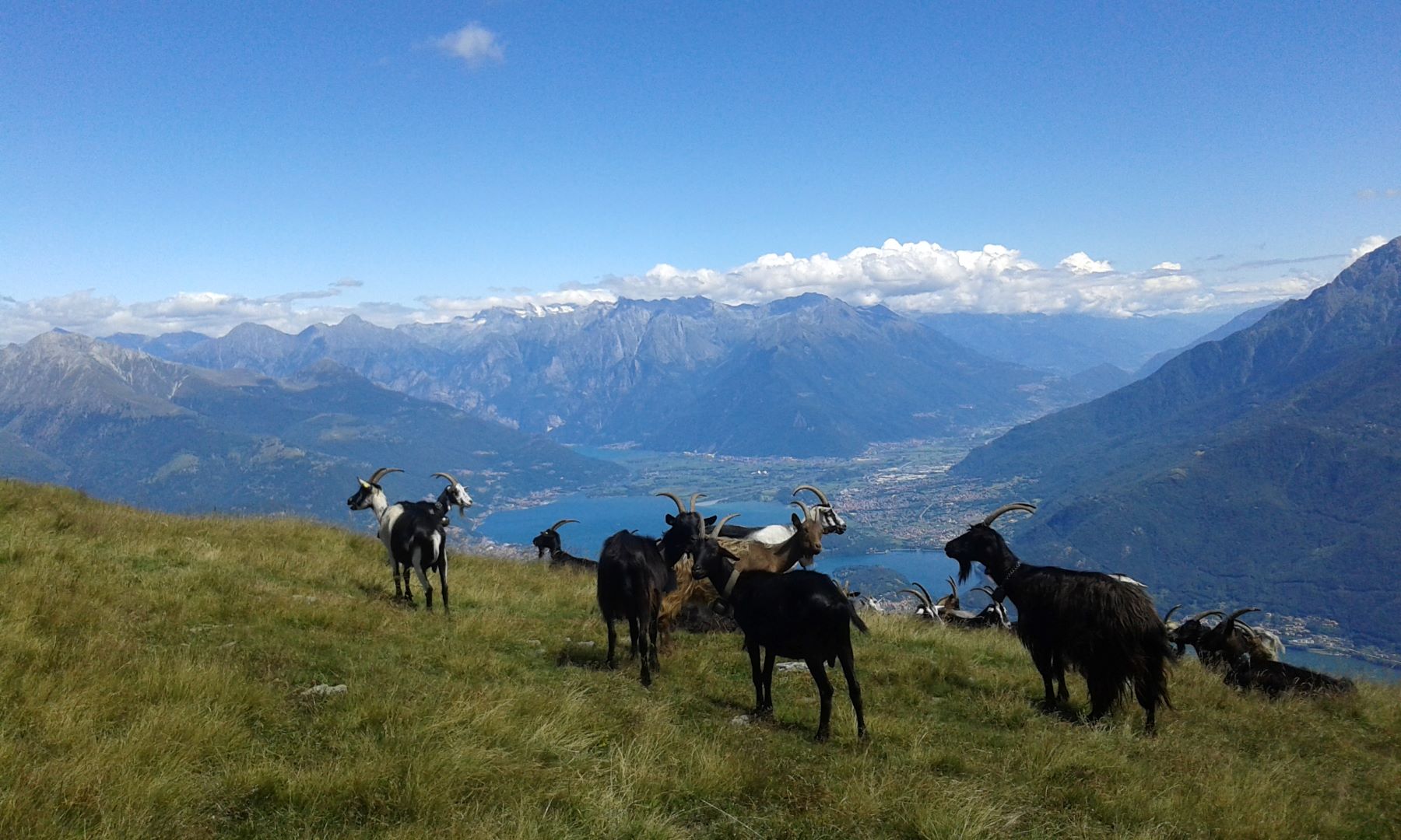
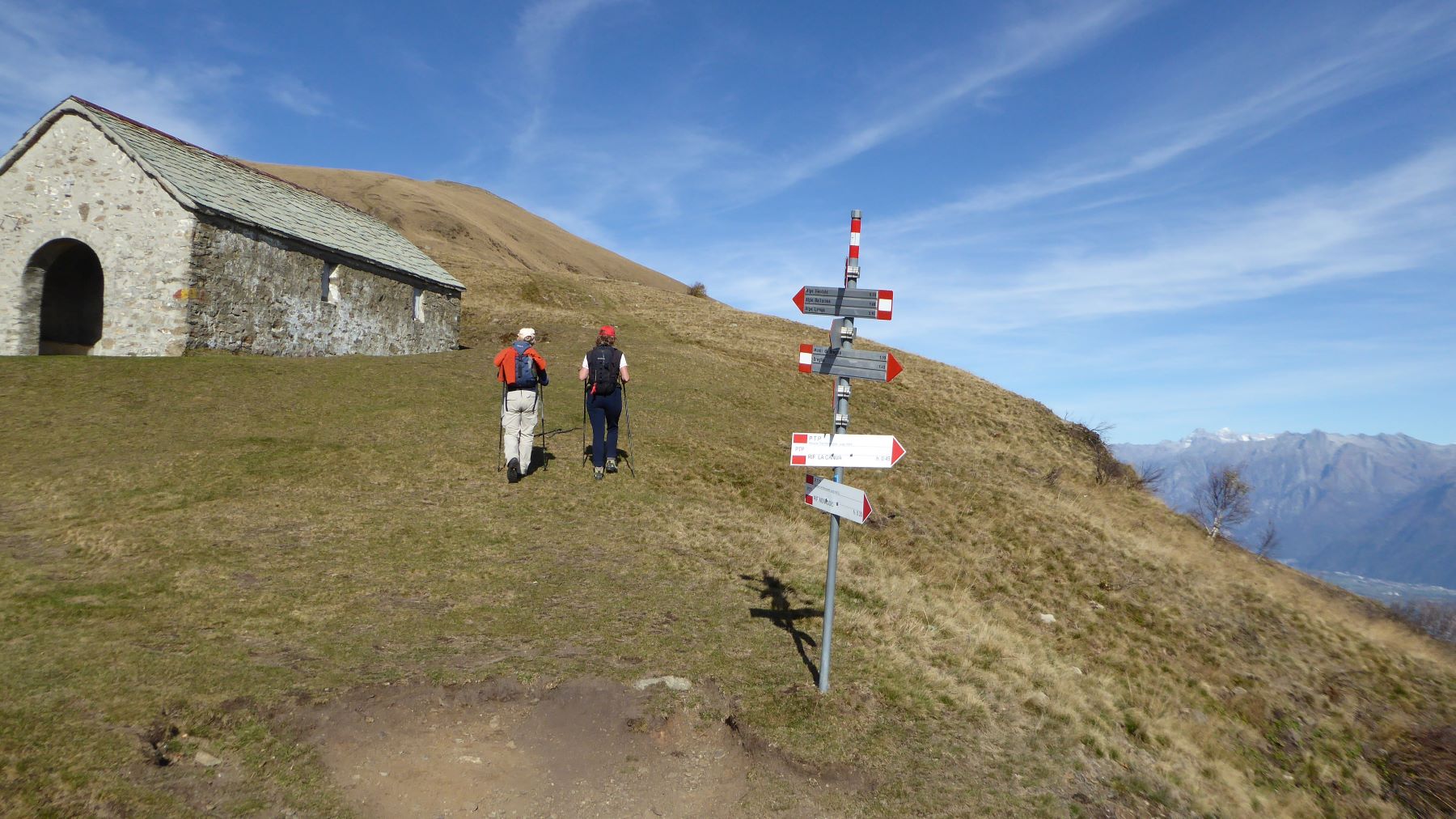
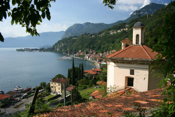
The path continues uphill between broom and birches, to arrive at a small saddle called by the locals “el capel de Giuan. From here the view opens onto the Bregagno ridge and on the right you can see the Rescanscia farm house. Continue along the slope of the mountain and after a last steep stretch you reach the Saddle of Sant’Amate (1623 m), where the homonymous chapel stands (about 1h40 from the start). S. Amate and its chapel. The spectacular view embraces Lake Como, the woods and pastures of the Val Sanagra, Lake Lugano and the Alps. On the left you can see Alpe Nesdale, where excellent cheeses can be bought during the summer months.
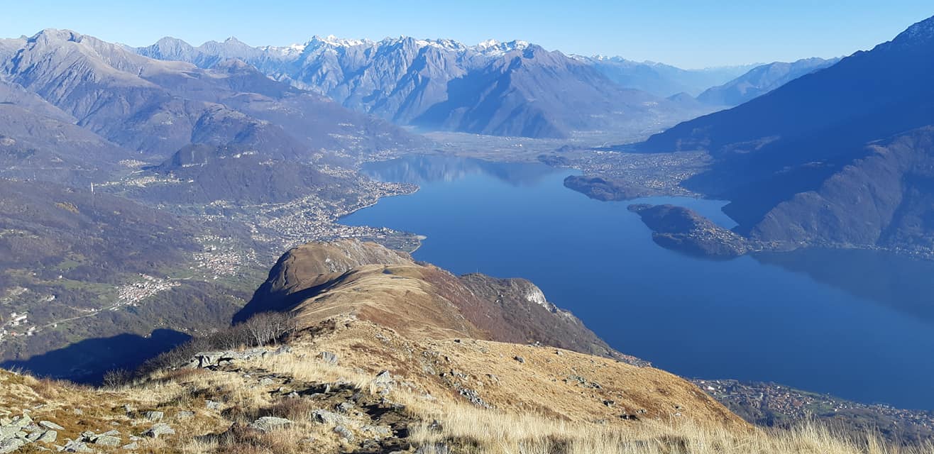
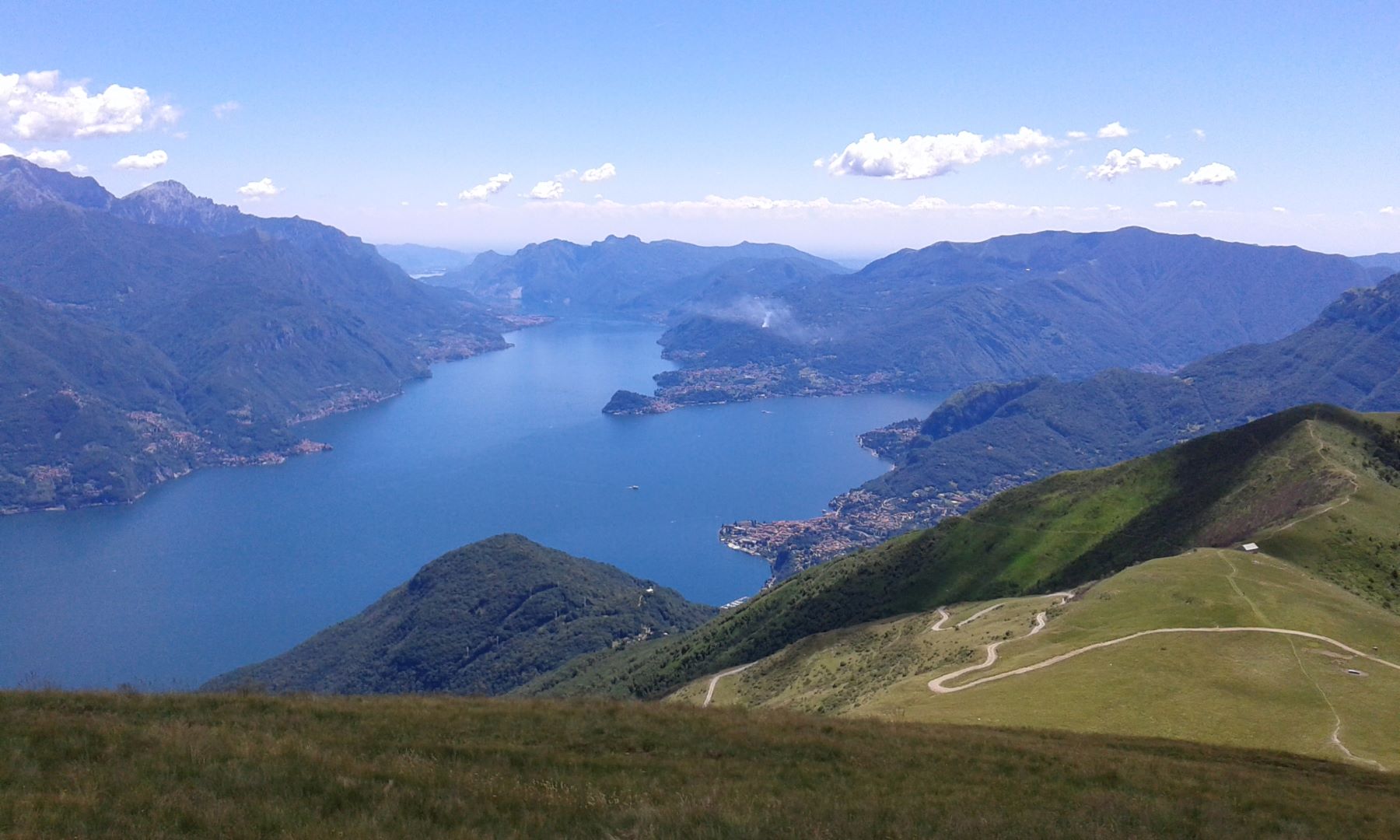
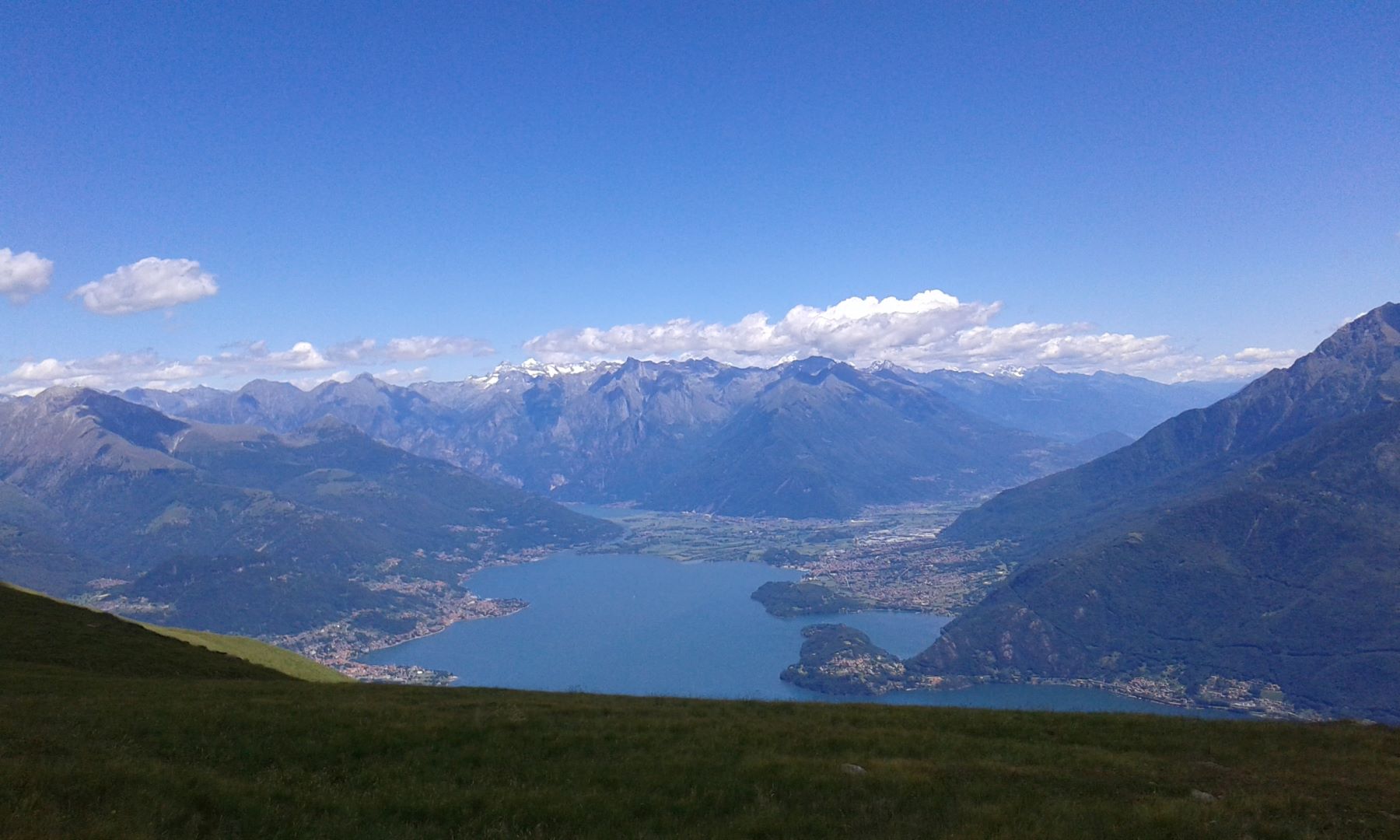
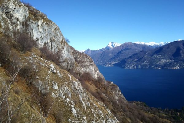
From S. Amate follow the grassy mountain ridge and you cross the dirt road that connects Montuglio with the alpine farms of Alpe Rescanscia and of Alpe Nesdale. Right at the start of a steep ascent you will pass the deviation for Rifugio la Canua 1520 m tel. + 39 3358097897. You reach the altitude of 1905 m (Bregagnino) from where the trail descends to a saddle and then leads up again to the rounded top of Monte Bregagno. The view of Val Albano, Valtellina and the Mesolcine mountains to the north, Lake Lugano, Val Cavargna and the Lepontine Alps to the west and Lake Como with Monte Legnone to the east is extraordinary.
Return along the same uphill route or alternatively, once you reach Sant’Amate, follow the signs for Monte Grona and walk along a short stretch of grassy ridge to a fork, where you take the path that goes down to the left. Continue until you reach Rifugio Menaggio (1400 m). The refuge is open daily during the summer months. The rest of the year during weekends. From the refuge you follow the path that leads to the Monti di Breglia and from there to Breglia.
Directions & Parking
Parking
Parking possibility at Breglia or at Monti di Breglia (1000m). Attention! Pay road fee if driving to Monti di Breglia (3 euro – coins only) at the ticket machine at the beginning of the road.
By public transport
From Menaggio you can reach Breglia by bus in 25 minutes with bus line C13.
Gallery