[Skip to main content]
Sasso Gordona

La Via dei Monti Lariani – section 1

Trekking routes

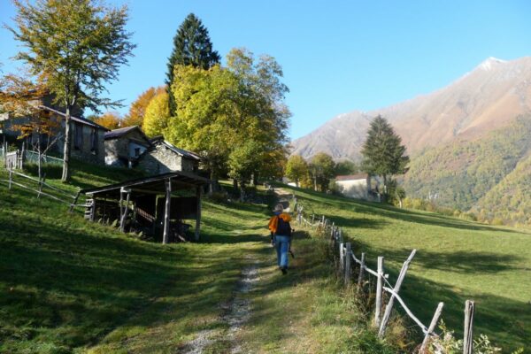
The old tracks which cross the mountains on the west side of the lake and were used – and some are still – by the local people to reach the Alpine pastures called “Monti”(Munt in the local dialect) have been transformed into
a series of paths following a marvellous itinerary called “LA VIA DEI MONTI LARIANI” (Lario being the ancient name of Lake Como).

It is a beautiful hiking trail of 125 km stretching out at an average height of 1.000 m, most “monti” being situated between 600 and 1.200 meters. 
The “Via dei Monti Lariani” is divided into 4 sections. The first one leads from Cernobbio to the Val d’Intelvi and is 28 km long, the second section leads from the Val d’Intelvi to the Val Menaggio, the third leads from the Val Menaggio to the Valle Albano and the fourth from the Val Albano to Sorico. The trail is well-marked with red-white-red signs in aluminium on tree trunks or walls, or painted on rocks numbered from 1 to 4 according to each section.

It’s impossible to walk the whole “Via” in 4 days, because the sections are too long and one has also to deal with the differences in altitude; 6 days would be the minimum amount of time needed staying overnight in the shelters or hotels located along the way.
 

Description

La Via dei Monti Lariani – section 1

From Cernobbio to San Fedele Intelvi

  • Length: 28 km
  • Total walking time: 9.30 hours
  • Ascent: 900 m

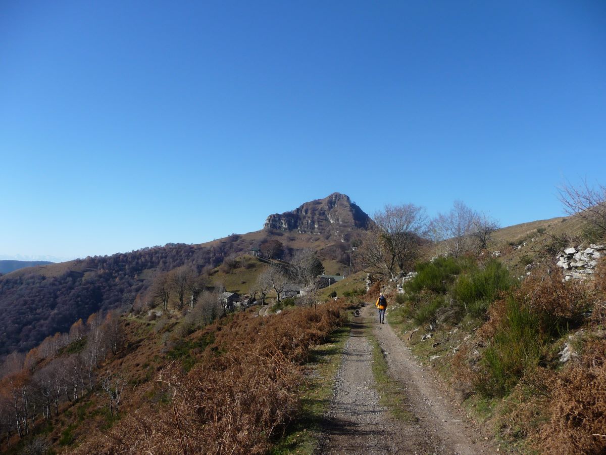
On the first part of this section one has to deal with an ascent of 1.000 m up the slopes of Monte Bisbino. The second part has less ascent, offers beautiful views and runs along Sasso Gordona with its tunnels and emplacements built during the First World War.

The “VIA DEI MONTI LARIANI” starts at Cernobbio in Piazza Mazzini where the main bus stop is. Cross the main road, pick up Via A. Volta and when you get to a roundabout continue straight on in the direction of Rovenna and Monte Bisbino. At the end of the road, just past the bend, after 20 meters, pick up Via G. Parini on the left. Once on the road again, follow it about 20 meters and then turn right into via Monte Grappa in order to reach Casnedo. In front of the church turn right. Cross a bridge and take left and pass through the village Stomaino. You end on the road leading up from Cernobbio but after 100 meters pick up the shortcut on the left that leads to Rovenna (450 m 0.45 hrs) – which can also be reached by bus (line C28) from Cernobbio.

You pass the church square (bus stop). At the bend turn left following the indications for Scarone and Madrona. Then turn almost immediately right in order to pick up the mule track that leads up in large bends to Monte Scarone and from there to Madrona (850 m 1.00 ; 1.45 hrs).

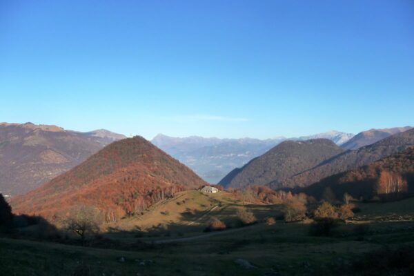
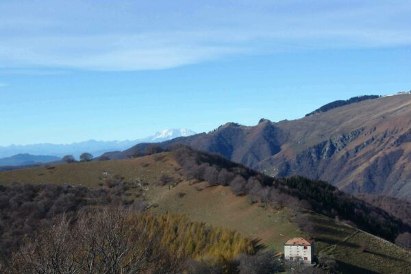
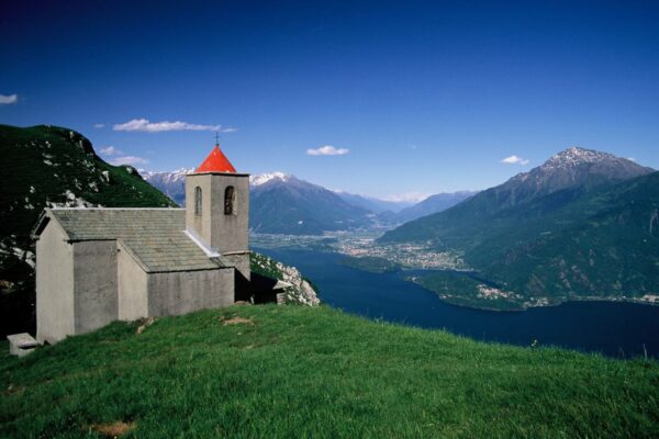
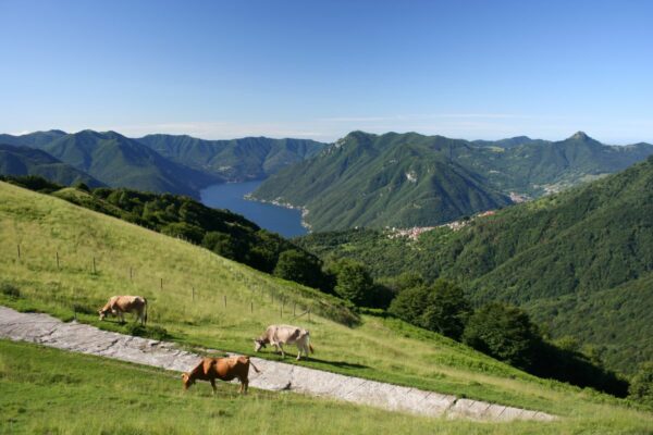
Follow the road up to the second curve, where you pick up the mule-track to Monte Bisbino which passes by the chapel of S. Carlo. At the end of the mule-track, just before reaching the road leading to the top of Monte Bisbino turn right in order to reach Ca’’Bossi (1.188 m 1.00 ; 2.45 hrs). From here a wide track goes slightly downhill to Colma del Bugone (1.119 m 0.15 ; 3.00 hours) where rifugio Bugone stands. This is where two paths coming up from Moltrasio meet. You cross through ancient beech-woods and get beautiful views of the lake, the Western Alps, Monte Generoso and Sasso Gordona.

Past Colma del Crinco the “Via” leads on to the Colma dei Murelli (1.200 m 0.45 ; 3.45 hours) where you find Rifugio Murelli. (From here you can make a detour of about half an hour to Monte Colmegnone (1.383 m), which offers a magnificent view, or to Monte San Bernardo (1.348 m) with its characteristic little church and Agriturismo). From Colma dei Murelli an easy cart-track lead to Alpe di Carate and from there to Rifugio Binate (1.200 m 0.30 ; 4.15 hrs), unfortunately closed since a few years.
From here the cart track continues to the Colma di Binate (1.133 m) where you can observe a “nevera”. These cylindrical formed constructions out of stone, lead deep into the ground and were filled with snow (neve) and used in the summer to conserve food. From the Colma it is possible to descend to Schignano (0.45 hr) or to Argegno (2.00 hrs). At the fork keep left and continue on an easy path which runs half way up the mountainside to the Colma di Schignano (also called della Crocetta) (1.128 m 0.25 ; 4.40 hrs) characterized by a cross in the rock.

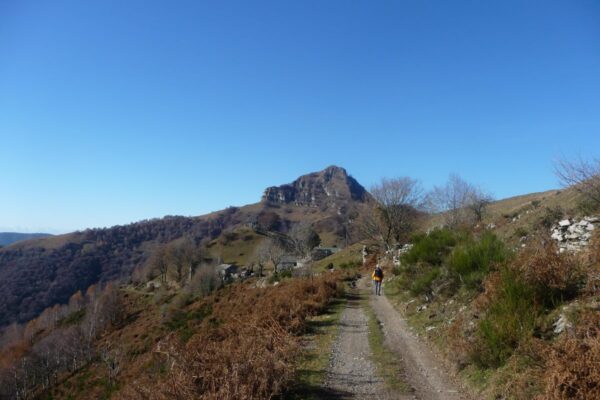
At the intersection take right over to the side that faces the Val d’Intelvi. You continue on an old military road that leads around Sasso Gordona. Inside this mountain there are tunnels with emplacements. In fact Sasso Gordona was part of the great defence line called Linea Cadorna, built in 1915 along the Swiss-Italian border, to prevent invasions from beyond the Alps. At the next intersection continue in the direction of rifugio Prabello. Just before arriving at the rifugio you leave the
ex military track and you pick up a trail on the right that leads through a beautiful beech wood down to Pian delle Alpi ALPI (960 m 1.00 ; 5.40 hrs) also called Alpe Cerano – road connection with Casasco 40 min. where there is a bus stop for line C21 CASASCO-SAN FEDELE-ARGEGNO.

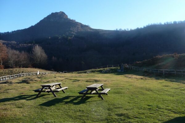
Follow the road that leads up from Casasco to Erbonne to the right, and just past the picnic area leave the road and pick up the mule-track to the left in the direction of Erbonne (sign). At the intersection with a tree posted with signs, turn right and follow the track that leads up the farm house of Ermogna. Before reaching the farmhouse you pass a “bolla” a natural depression in the terrain adapted by man to conserve rainwater and create a beverage place for the cattle. Near the farmstead you notice another “nevera”.

The easy track leads to Monte di Carolza (1.100 m) and from there after a stretch through the woods you reach some houses above the town Casasco. Take left and follow the sign for Capanna Bruno / San Fedele. Then you reach the road coming up from Casasco, follow it to the left and just past the bend with three crosses, leave the road and take the trail on the left leading up to the restaurant Capanna Giuseppe e Bruno (1.180 m 1.30 ; 7.10 hrs). Just past the restaurant on the right you find the trail signs for Alpe Orimento / San Fedele.

An almost flat trail leads over the steep fields of Mt. Crocione, and crosses under a ski lift. The trail leads on to a track and after a stretch downhill at the intersection, take the trail left leading uphill. At the next intersection keep left again in order to reach Bocca di Orimento (1.275 m 0.50 ; 8.00 hrs) where the inn Baita di Orimento is located (starting point of the excursion to Monte Generoso (1.701 m).

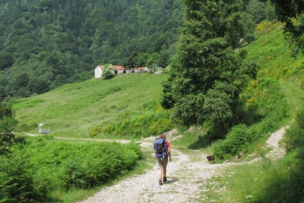
Follow the road leading down to Casasco to the right and after approx. 2 km you reach Rifugio Cristé (1.250 m) You remain on the road (there are some shortcuts if you want to cut some bends) that leads around two “bolle” and arrives at an intersection. You leave the road, going to Casasco, and follow the road left in the direction of San Fedele. After 300 meters you leave it and pick up a large cart track on the left leading to some houses. The cart track becomes a comfortable grassy trail, that leads through a pinewood and then down through meadowland in the direction of San Fedele, with splendid views of the Val d’Intelvi and the mountains of the Canton Ticino. The trail leads on to the road towards San Fedele Intelvi (750 m 1.30 ; 9.30 hrs) – hotels – restaurants – bus stop (line C20/21/22) where near the bus depot, this section ends.


Available maps:

  • Kompass 91 – Lago di Como/Lugano – e 92 – Chiavenna/Val Bregaglia – o 676La Carta Topografica Escursionistica Val Sanagra, Val Cavargna, Val Rezzo, Valsolda della Comunità Montani Valli del Lario e del Ceresio  scala 1:25.000
  • La Carta dei Sentieri dell’Intevese della Comunità Montana Intelvese scala 1:35.000.

Lodging along the trail

  • Rifugio del Bugone                                                
    3.00h from Cernobbio
    tel. rifugio 031 513808 – cell. 334 6588654 –
    [email protected] – www.rifugiobugone.net
  • Rifugio dei Murelli                                                  
    3.45h from Cernobbio
    tel. rifugio 335 8434493 – tel. gestore 3383347335 –
    [email protected]
  • Agriturismo Rocolo di San Bernardo                       
    4.00h fom Cernobbio
    10 min. from la Colma dei Murelli
    tel. 339 3150561 – [email protected]
  • Rifugio Prabello
    5.30 ore from Cernobbio
    tel. 347 7162780
    www.prabello.it – [email protected]
  • Baita di Orimento                                                  
    8.00h from Cernobbio
    tel. 031 830412 oppure 335 6380242 –
    www.baitadiorimento.it
  • San Fedele Intelvi
    various hotels and B&Bs

Directions & Parking

Map directions →

By public transport
  • Cernobbio is connected with bus line C10 and C20 of the ASF bus company
  • Rovenna can be reached by bus line C28 of the ASF bus company
  • San Fedele is connected with bus lines C20 / C21 / C 22

Gallery