[Skip to main content]

La Via dei Monti Lariani – section 2

Trekking routes

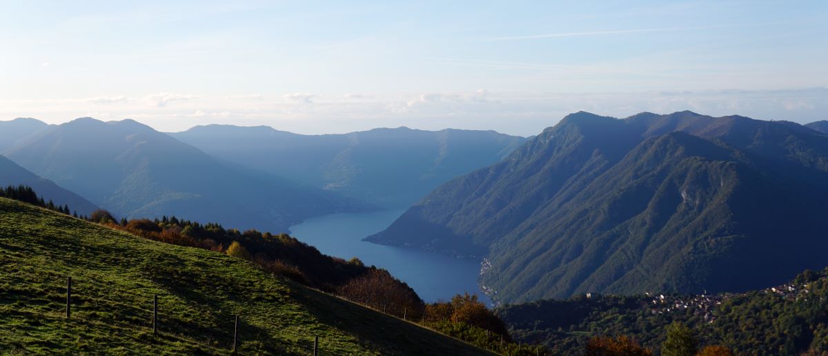
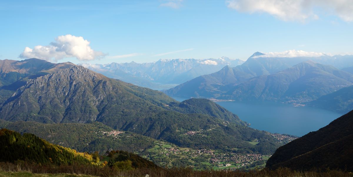
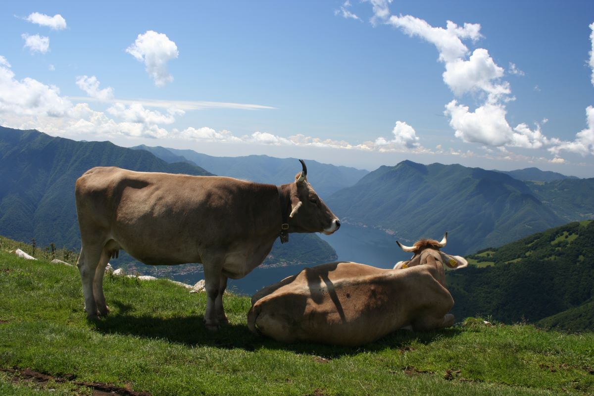
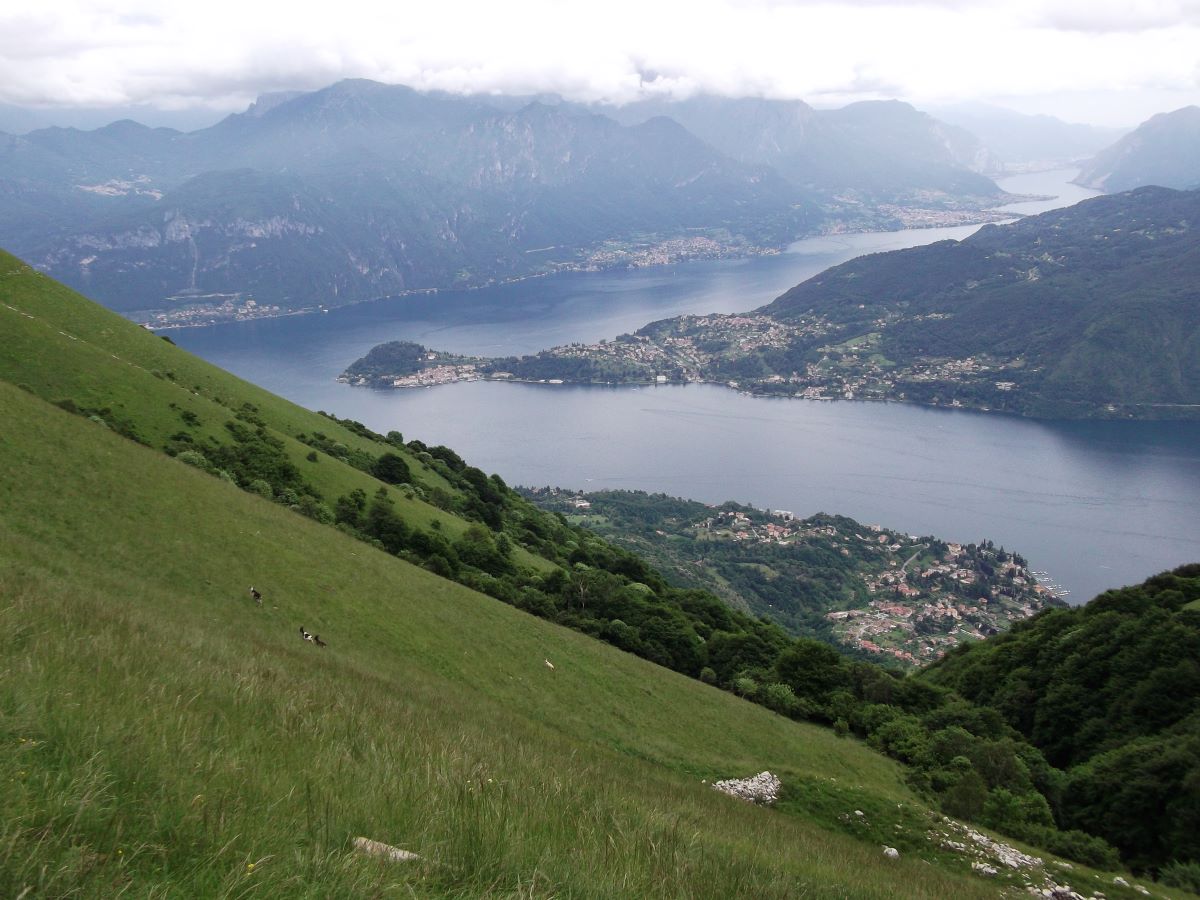
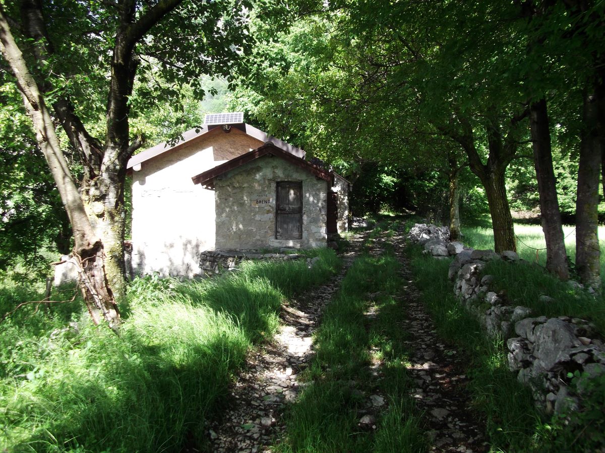
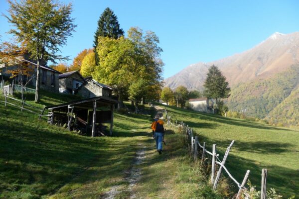
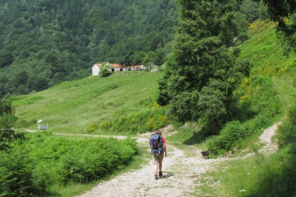
The old tracks which cross the mountains on the west side of the lake and were used – and some are still – by the local people to reach the Alpine pastures called “Monti”(Munt in the local dialect) have been transformed into a series of paths following a marvellous itinerary called “LA VIA DEI MONTI LARIANI” (Lario being the ancient name of Lake Como).

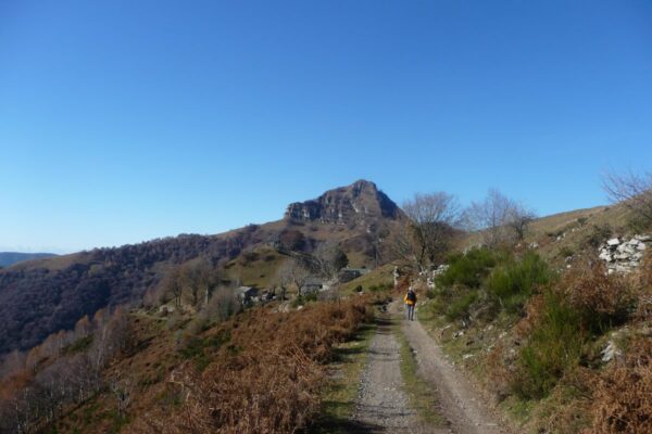
It is a beautiful hiking trail of 125 km stretching out at an average height of 1.000 m, most “monti” being situated between 600 and 1.200 meters. 
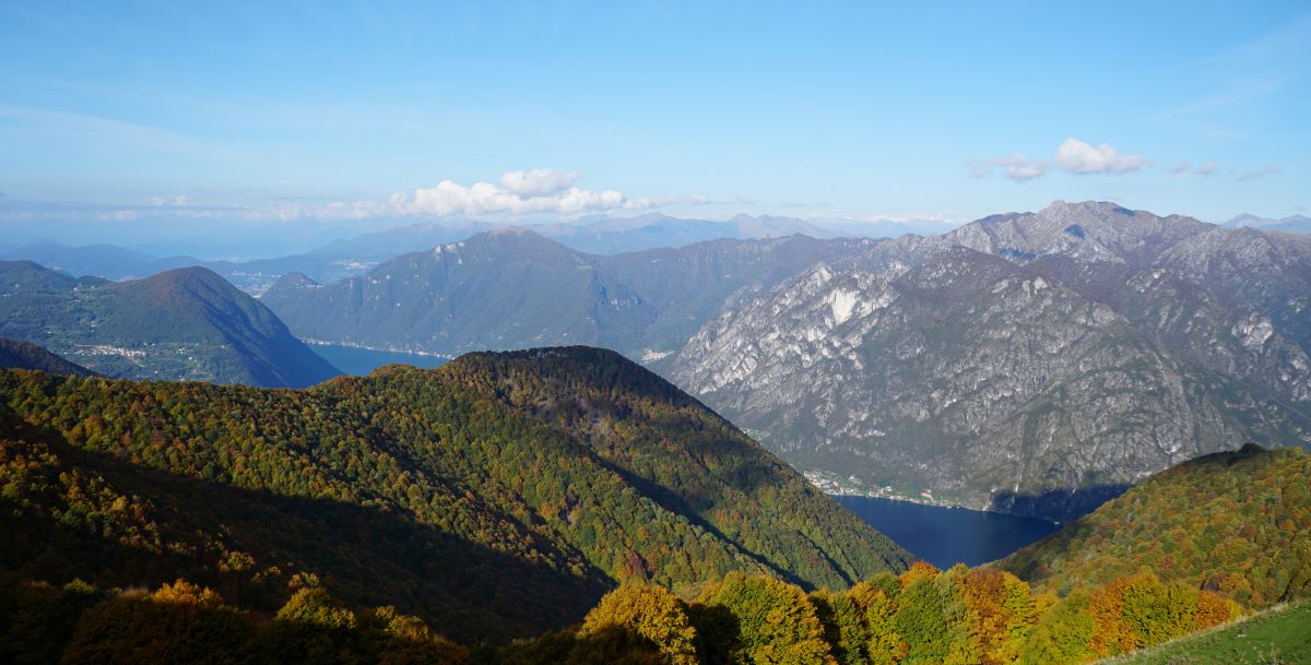
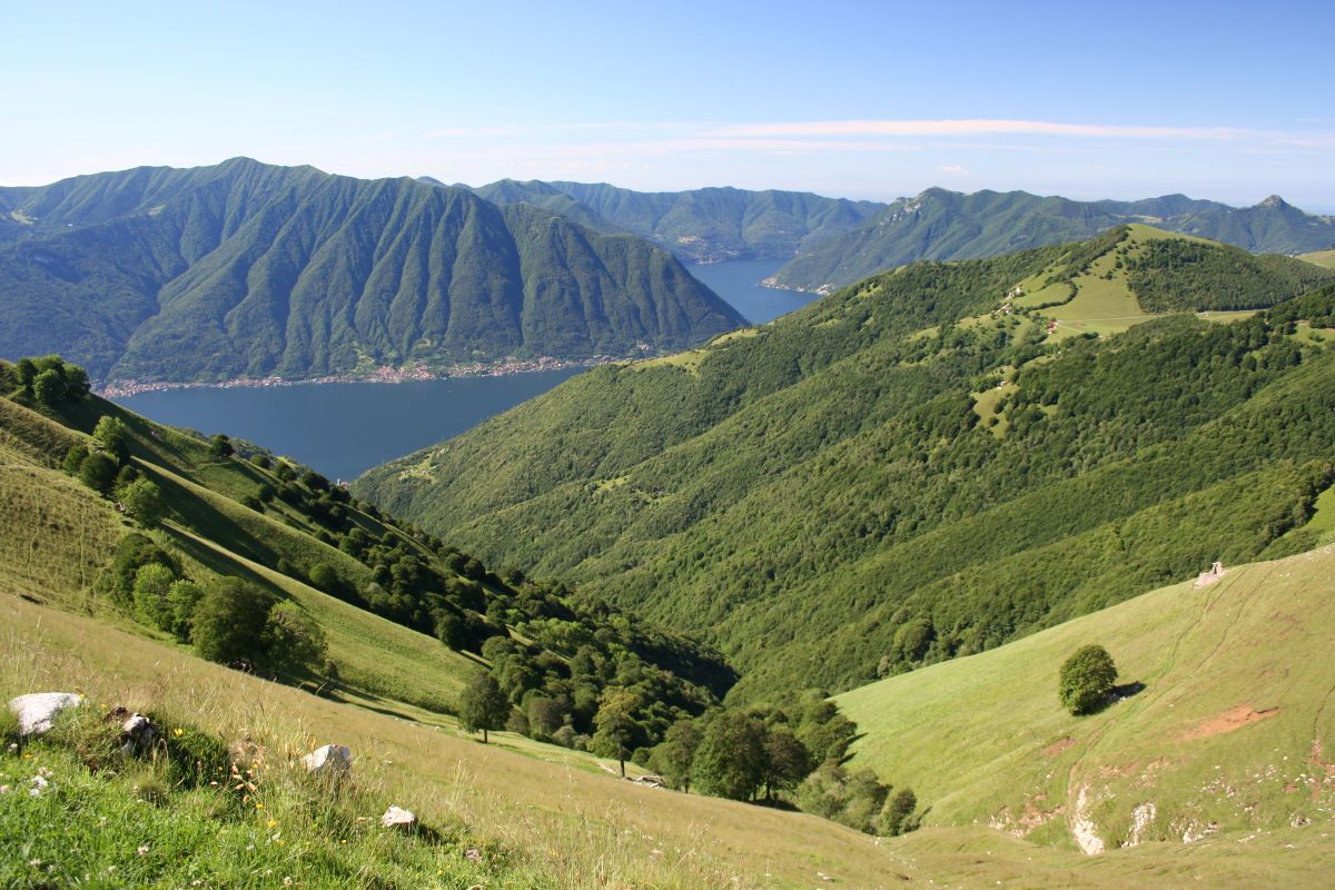
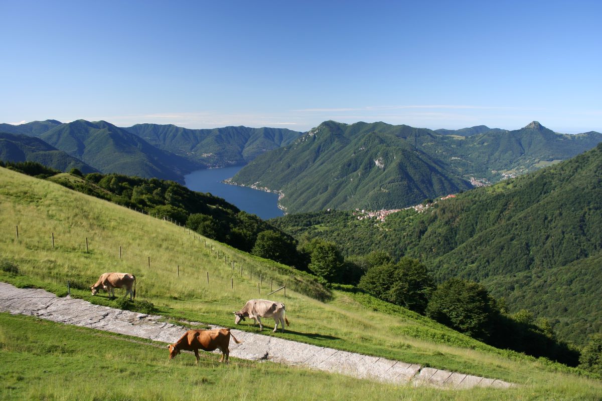
The “Via dei Monti Lariani” is divided into 4 sections. The first one leads from Cernobbio to the Val d’Intelvi and is 28 km long, the second section leads from the Val d’Intelvi to the Val Menaggio, the third leads from the Val Menaggio to the Valle Albano and the fourth from the Val Albano to Sorico. The trail is well-marked with red-white-red signs in aluminium on tree trunks or walls, or painted on rocks numbered from 1 to 4 according to each section.

It’s impossible to walk the whole “Via” in 4 days, because the sections are too long and one has also to deal with the differences in altitude; 6 days would be the minimum amount of time needed staying overnight in the shelters or hotels located along the way.

Description

La Via dei Monti Lariani – section 2

From San Fedele Intelvi to Croce di Menaggio

  • Length: 26 km
  • Total walking time: 9 hours
  • Ascent: 800 m

The second  section of the Via dei Monti Lariani leads from Val d’Intelvi to Val Menaggio and passes by the alpine pastures of Alpe di Colonno and Alpe Boffalora with their typical “bolle” , natural depressions in the terrain adapted  to conserve rainwater and create a beverage place for  cattle. You will walk along connection roads built during the first world war which were part of  the great defence line called Linea Cadorna, built along the Swiss-Italian border.  Part of it is even a 120 m long tunnel hewn into the rocks of Monte Crocione which you cross. The second part of the walk leads along the slopes of Monte di Tremezzo and Monte Crocione and offers breathtaking views of Lake Como.

San Fedele Intelvi (750 m), the starting point of this section,  can be reached by bus. From the bus stop close to the bus depot (deposito delle corriere) of the ASF bus company take  Via dell’Andrino thet leads up to the cemetery of San Fedele. At the cross roads continue left onto  Via S. Liberta ; at the next fork turn right onto Via Pignini and close to a small parking lot turn left  (sign Surca).

A little further on, the mule track leading to  Belvedere (940 m) leads off.  From Belvedere you have a wonderful view of the valley.  You walk through a nice  beech wood. Ignore the first uphill deviation to the right but at the next fork turn right and follow the ascending track which shortly after becomes a trail.

You pass the abandoned settlement of COIA and from there you follow a trail through the woods that leads to a group o farm buildings called La Zerla (1.150 m 1.40 hrs). From the saddle you ecan enjoy a wonderful view of Sasso Gordona, Monte Crocette e Monte Generoso.

From here you can make a small detour of 20 min. to ‘Alpe di Blessagno’ where the Agriturismo la Radice stands (lodging and catering service).

From La Zerla onwards, apart from  the red white red signs of the Via dei Monti Lariani, you will also find the white and purple route 8 signage which will accompany you as far as Alpe di Colonno. You enter a pinewood, and then cross a beech wood, in order to arrive at the steeply sloping meadows in the area called Bassetta Bassa (1.300 m 0.45 ; 2.25 hrs) from where you have a magnificent view of the Ponna Valley and the mountains around Lake Lugano. Just past the farm buildings turn right in order to pick up a trail that leads through a beech wood along the north slope of Monte Costone. Once out of the woods, the dirt road leads us to a panoramic terrace characterized by a cross. The beautiful view sweeps in all directions. Below us is the Alpe di Colonno, with its characteristic “bolle”, large natural basins adapted  in order to collect rainwater for watering livestock.

Descend to the road leading up from Pigra and close to the bolle follow it to the left. It runs along the north face of Monte Duaria and then reaches Alpe Boffalora with its beautiful pastures where the refuge of the same name stands (1,250 m at 1.35 am; 4.00 am). Continue along the road from where you have a splendid view of Monte Galbiga and Monte di Tremezzo and after 100 m, at the deviation for Ponna, continue straight along in the direction of Rifugio Galbiga / Venini.

This area was part of the WW1 great defence line called Linea Cadorna, built in 1915 along the Swiss-Italian border , to prevent a possible offence. In fact the road you are walking on was built during that time.

After 100 m you will reach the indication Grandola ed Uniti. Here you can choose between the original path of the “Via dei Monti Lariani” which continues to the right passing through the localities of Pioda, “La Taiada” Alpe Gada, Piazza, Crusen Garbagno, Narro, Ossino, Galleria (note that the section between Narro and Ossino is often overgrown) or the more panoramic route passing by Alpe di Ossuccio, Alpe di Lenno, rifugio Venini, the Bolla di Mezzegra and Galleria.
We suggest the panoramic one, which in addition to offering a spectacular view, is also more easily accessible.

So we continue along the road  that climbs up to Alpe di Ossuccio (possibility to buy cheese). From here, bypassing the entire head of the Val Perlana, you reach Alpe di Lenno located at Bocchetta di Lenno, between Monte di Lenno and Monte Galbiga. A short stop is recommended to admire the view of Lake Lugano behind the “bolla”. You then reach Rifugio Venini (also called Galbiga), (1575 m a.s.l. at 1.00; 5; 00). The refuge is located in a grassy saddle between Monte Galbiga and Monte Tremezzo. The small cannon in front of the shelter reminds us that this, at the beginning of the 1900s, it was a military accommodation facility that was part of the Cadorna Line.

Continue straight on to Bocchetta di Tremezzo from where you can enjoy a beautiful view of the Val Menaggio, Monte Grona and the ridge of Monte Bregagno. At the crossroads, turn right following a stretch of the Lake Como Marathon Trail (PTP) which is also marked with red white red signs. It is a 60km mountain race that is disputed every September. Above us you can see the military posts arranged on different levels and still well preserved after 90 years. Some of these housed 210 mm mortars, others are composed of walls with niches for shelter.. In the underlying Val Perlana you can see the monastery of S. Benedetto, an important Romanesque structure.

The beautiful mule track that surrounds Monte di Tremezzo leads almost level to the Bolla di Mezzegra, just below the eponymous alp. From the bolla the splendid view sweeps from the north end of the lake to the center lake area and to the far end  of the Lecco arm. Behind Bellagio rises the bulk of the Grigne. Continue along the slope of Monte Tremezzo. Slightly above you can notice the ruins of Alpe di Tremezzo, in front towers the peak of Monte Crocione.

When you have arrived below the summit of Monte Crocione, the military road descends in hairpin bends through the woods. Once out of the woods, and after another two bends on a rocky surface you find youself in front of the entrance of a a 120 m long tunnel (galleria) Also this tunnel is part of the fortifications carried out during the First World War, from Monte Bisbino to the Val d’Intelvi and the Menaggio Valley.

After the tunnel, walk down to the pastures of Monti Brente’ (880 m). From here you follow the old military road that leads down in bends to Bocchetta di Nava (848 m 1.45 ; 8.15 hrs) – (you can reach Griante from here – 1.00 hr). On your way down to Croce, you walk through beautiful chestnut woods, and just past Mie’ you reach the church of the Madonna di Paullo (650 m) in the Menaggio Valley. Just past the church the cart track ends on to a paved road which you follow to the left and after just 50 m you pick up the trail down to the right. It crosses the road twice before reaching the village Croce (385 m 0.45 ; 9.00 hrs) , which is part of the commune of Menaggio.
Near the church square path 2 finishes. On the main road Menaggio – Lugano, twenty meters to the right, you find the bus stop for Menaggio (line C12 Menaggio- Porlezza – Lugano) and on the opposite side of the road for Grandola – 1 km from Croce – where path 3 starts.

available maps:

  • Kompass 91 – Lago di Como/Lugano – e 92 – Chiavenna/Val Bregaglia – o 676
  • La Carta Topografica Escursionistica Val Sanagra, Val Cavargna, Val Rezzo, Valsolda della Comunità Montani Valli del Lario e del Ceresio  scala 1:25.000
  • La Carta dei Sentieri dell’Intevese by Comunità Montana Intelvese scale 1:35.000.

Lodging and refreshments along path 2:   

  • San Fedele
    various hotels and B&Bs
  • Agriturismo le Radici
    2.00h from San Fedele
    20 min. from the “Via” at l’Alpe Blessagno
    tel. 347 740313 www.leradiciagriturismo.it
  • Alpe di Colonno                                                         
    2.50h from San Fedele
    tel. 380 2882588 – www.alpedicolonno.org
  • Alpe di Sala   
    3.00 h. from San Fedele
    tel. 3336073226
  • Rifugio Boffalora                                                 
    3.15h from San Fedele
    tel. rifugio 0344 56486 – tel. gestore 031 307724
  • Rifugio Venini                                     
    4.15h from San Fedele                                                                    
    tel. rifugio 0344 56671 – tel. manager 328 3896336
    [email protected] – www.rifugiovenini.com
  • Menaggio
    various hotels and B&Bs

Directions & Parking

Map directions →

By public transport
  • San Fedele Intelvi can be reached by bus from Argegno with bus line C20  or from Porlezza with bus line C22 of the AFS bus company
  • Croce and Grandola ed Uniti are connected with bus line C12 of the AFS bus company