[Skip to main content]
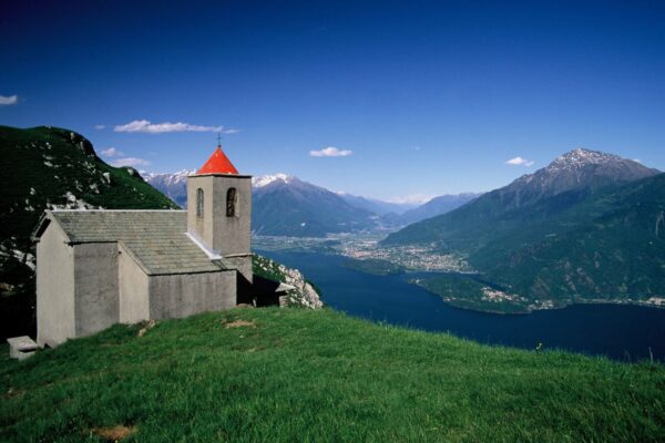
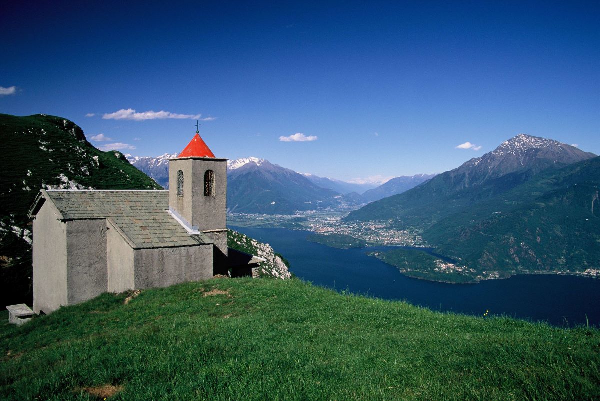
The church of San Bernardo from where the Via dei Monti Lariani leads into the Val Albano

La Via dei Monti Lariani – section 3

Trekking routes

The old tracks which cross the mountains on the west side of the lake and were used – and some are still – by the local people to reach the Alpine pastures called “Monti”(Munt in the local dialect) have been transformed into a series of paths following a marvellous itinerary called “LA VIA DEI MONTI LARIANI” (Lario being the ancient name of Lake Como).

It is a beautiful hiking trail of 125 km stretching out at an average height of 1.000 m, most “monti” being situated between 600 and 1.200 meters. 
The “Via dei Monti Lariani” is divided into 4 sections. The first one leads from Cernobbio to the Val d’Intelvi and is 28 km long, the second section leads from the Val d’Intelvi to the Val Menaggio, the third leads from the Val Menaggio to the Valle Albano and the fourth from the Val Albano to Sorico. The trail is well-marked with red-white-red signs in aluminium on tree trunks or walls, or painted on rocks numbered from 1 to 4 according to each section.

It’s impossible to walk the whole “Via” in 4 days, because the sections are too long and one has also to deal with the differences in altitude; 6 days would be the minimum amount of time needed staying overnight in the shelters or hotels located along the way.
Description

La Via dei Monti Lariani – section 3

From Grandola ed Uniti to Garzeno

  • Length: 25 km
  • Total walking time: 9 hours
  • Ascent: 800 m

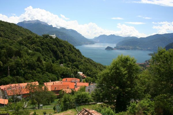
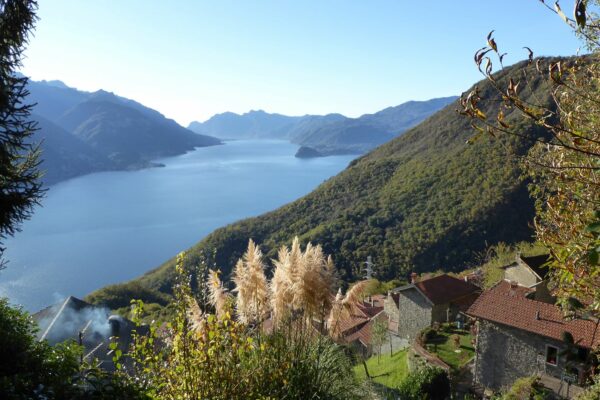
This section leads from Val Menaggio to Val Albano over the saddle of San Bernardo offering magnificent views of Lake Como. Those who want to shorten this long section by 2 hours can take the bus from Menaggio to Breglia  and start the walk from there.

Grandola ed Uniti (385 m) can be reached by bus line C12. Get off at the bus stop “bivio per Naggio”. You are now at Cardano (part of the commune Grandola ed Uniti). Turn into “Via Roma” where path 3 starts. From here follow the road (there are a few short cuts) to Codogno (479 m 0.15 hours). Here, on your left, you can see the 17th
century Villa Camozzi which is now seat of the town hall, as well as cultural centre and seat of the Val Sanagra Naturalistic Museum. Just past the villa turn right and follow the road leading down to the Agriturismo “La Vecchia Chioderia” with a trout nursery, restaurant and inn on the Sanagra river.

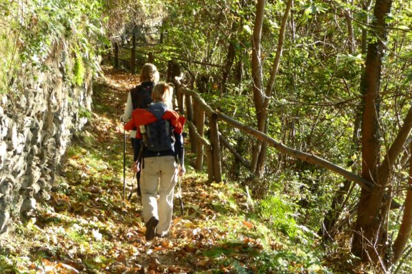
Cross the bridge and just past the “agriturismo” turn left and then almost at once right and follow a steep path that winds up to Barna (563 m 0.35 ; 0.50 hrs). In the peaceful church square, with its lovely fountain, continue left (pay attention to the signs on the houses). You leave the town behind you along a steep mule track that leads uphill through the woods and passes a fountain with three arcades. The mule track eventually becomes a somewhat unclear path that ends on a cart track near a house which you follow left. In a brief time you reach La Piazza (747 m 0.30 ; 1.20 hrs) surrounded by beautiful pastures where the track ends on a road near a little chapel called cappelletta del Bergum.
N.B. the sign with a number 3 crossed with a red stripe indicates the “4 Valley Trail”, another beautiful itinerary of 3 days.

Follow the road to the left for just a brief stretch, then leave it and follow a track to the right through the woods through the area called Ponte, where there are many summer houses and a holiday camp. The trail leads down to a small wooden bridge near the spring of Troi and then reaches the village Breglia (749 m 0.40 ; 2.00 hrs).

For those starting this section at Breglia, from the bus stop walk along the side of the church of S. Gregorio to the far end of the parking place and pick up via per Carcente to the left. It leads to a little square where, above the fountain, you follow the alley to the right leading out of the village.

Just after you have left Breglia behind you, the trail is interrupted by a big land slide. In order to bypass the landslide, you are directed to a recently built cart-track that should have connected Breglia with Carcente but as for now it is not passable. After 200 meters you leave the track (sign) in order to reach the original trail again that leads through the chestnut woods down into the Val Greno. You cross the stream over a bridge where there is a little shrine dedicated to the Madonna of the valley. The path goes around the valley and reaches the picturesque village of Carcente. You can enjoy a nice view of the lake and on the Grigne (alt. 2410 m) that towers above the town Varenna on the other side of the lake.  At Carcente there is a small museum housed in a typical stone building of the village; it contains tools and household furnishing featuring aspects of rural daily life. It is open by request tel. +39 345246115. n the middle the village you pick up the cobble stone mule track to the left (via alla Mason dei Monti). It leads in a series of bends through a chestnut wood up to Monti di Carcente (alt. 847 m 1.20 ; 3.20 hrs).

From here the path leads to Monti di Treccione and on to fields with a magnificent view of the Lepontine Alps, the northern end of the lake and the Lecco branch before reaching Montuglio (950 m) road connection with San Siro (1.30 hrs). The path then goes through the Vezzedo valley, and then on to Luina and to the beautiful Monti di Bracco (1.060 m 1.00 ; 4.20 hrs). Just past the little church of S. Domenico, you continue on to Monti Piazzuco. From here, in about 1 hour, it is possible to reach Rifugio la Canua 1.520 m.

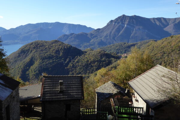
After an uneasy stretch through the dry and rocky Quaradella Valley you reach Naro (1.190 m 0.50 ; 5.10 hrs) surrounded by a pinewood. From the fountain in the middle of the houses the trail continues to the pasture fields of Alpe N’Alcim (1.200 m), with a beautiful view of the surrounding peaks. A bit further, you reach the highest point (1.250 m) of this particular section, near Val Grande.

The path then starts going gently downhill and keeping to the right, leads through the rural settlements Adaca and Scireso. Among pasture fields you pass through Brecchio and the upper part of Labbio (1.020 m 1.50 ; 7.00 hrs)  From Labbio the path climbs to the Saddle of San Bernardo (1.105 m 0.20 ; 7.20 hrs). From the church you can see the Valley of Albano where the trail leads down to. Ignore the trail down to the right leading over Sasso di Musso to Musso but pick up the one on the left.

The trail descends the steep fields of the northern slope of Monte Bregagno crosses some small streams and eventually leads to the rural settlement Piazze (800 m 0.40 ; 8.00 hrs). Right at the beginning of the settlement, where you find the yellow sign indicating its name, you turn to the right and walk down to the lower part of the hamlet where you will find the recently constructed road that leads down through a chestnut wood to the bridge over the river Albano. You soon arrive at Catasco (620 m) from where you follow the track (via per Garzeno) leading up to Garzeno (662 m 1.00 ; 9.00 hrs) Bus stop (line C17) refreshments – 2 hotels.

Available maps:

  • Kompass 91 – Lago di Como/Lugano – scale 1:90.000
  • Kompass 92 – Chiavenna/Val Bregaglia – scale 1:90.000
  • La Carta Topografica Escursionistica Val Sanagra, Val Cavargna, Val Rezzo, Valsolda della Comunità Montani Valli del Lario e del Ceresio – scale 1:25.000
  • La Carta dei Sentieri dell’Alto Lago della Comunità Montano Valli del Lario e del Ceresio scale 1:35.000


Lodging:

  • Grandola ed Uniti
    various hotels and B&Bs
    Agriturismo la vecchia Chioderia
    0.30h from Grandola tel. +39 0344 30152
    www.lavecchiachioderia.it
  • Albergo Breglia                                                        
    2.00h from Grandola
    tel. +39 0344 37250 – [email protected]
  • Rifugio Menaggio                                             
    3.30h from Grandola ed Uniti (1.30 hr. from the trail)
    tel. +39 0344 1930017
    [email protected]
  • Rifugio la Canua                                                
    5.20h from Grandola ed Uniti
    1.20h from the trail reachable from Monti Piazucco
    tel. rifugio +39 335 8097897 – www.rifugiocanua.it
  • Agriturismo Labbio
    6.40h from Grandola                                                    
    tel. +39 0344 80120 –  +39 333 8906025
    www.agriturismolabbio.it
  • Garzeno
    some hotels and B&B’s

Directions & Parking

Map directions →

By public transport
  • Grandola ed Uniti is connected with bus line C12 of the AFS bus company
  • Breglia is connected with bus line C13 of the AFS bus company
  • Garzeno is connected with bus line C17 of the AFS bus company