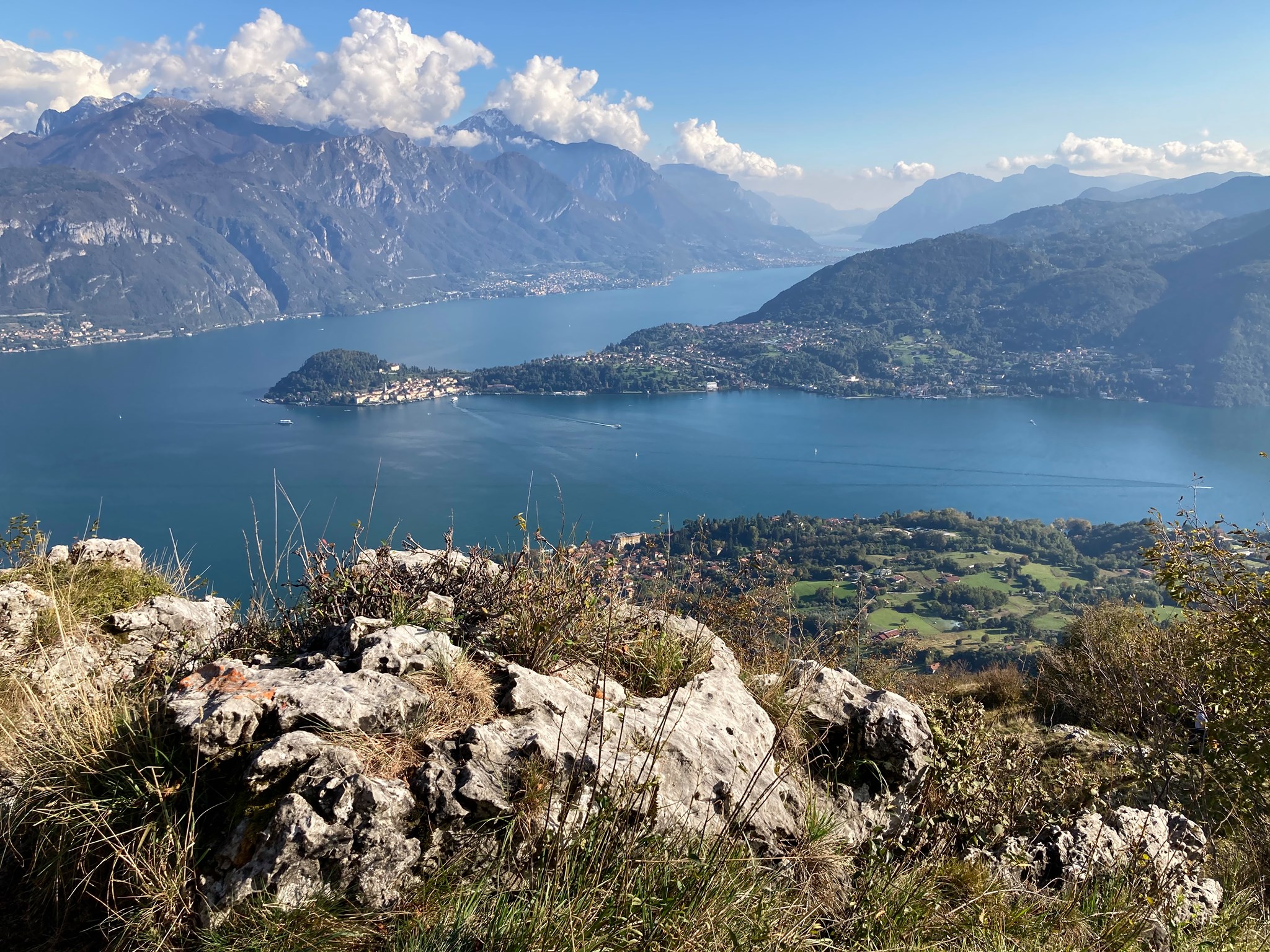
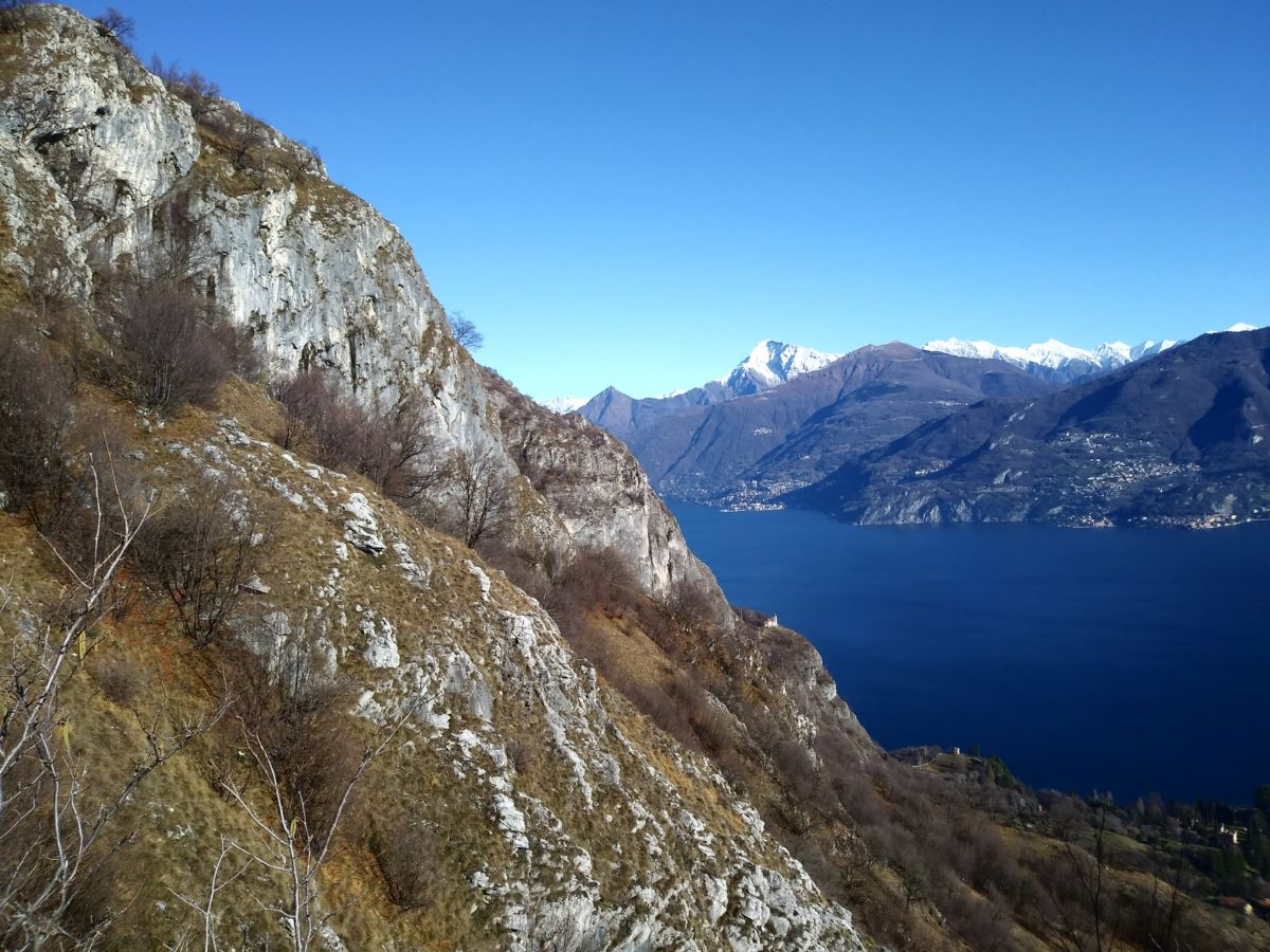
This itinerary leads from Croce (393 m), a small village just above Menaggio, through the woods with nice views of the Menaggio Valley up to the pasture fields of Monti di Nava (848 m). From Nava you follow the trail which descends to Griante offering a marvellous view of the centre lake area and the surrounding mountains.
Description
Croce is the highest in elevation of the villages that are part of the commune of Menaggio and lies at the beginning of the Val Menaggio. It has a rural historic centre characterized by a typical little square of the 16th century. On its slightly raised surface the rituals of haymaking, of the harvest and the threshing, took place. Along via Rimembranze, just slightly past the bus stop in front of Hotel Adler, you can reach the small historic centre.
Our itinerary though starts at the opposite side of the main road 340 that connects Menaggio with Lugano. From the bus stop, continue for about 30 m along the main road and then cross it. Pick up the via Wyatt in the direction of the golf course (big sign). You pass a typical washhouse and slightly further, on your right, you pick up the concrete ramp indicated with the trail signs of the “Via dei Monti Lariani” Trail n° 2.
The Via dei Monti Lariani is a trekking route of 125 km that connects the “Monti”, small rural settlements, on the west side of the lake. This walk follows a small part of this marvellous route as far as Monti di Nava.
The concrete ramp leads among the houses and ends on the road that leads from Croce to Paullo. Cross it and follow the flight of steps that leads into the woods. After an ascent of about 15 minutes the path ends once more on the road. Follow it to the left and slightly ahead, right in front of the house called “Ca Puntea“, pick up the wide track that leads over a small valley and, after 300 m, ends onto the road. Follow it to the left, and just past the bend pick up the track to the right in the direction of Monti di Nava.
You pass the church of the Madonna di Paullo (1951) that holds a much venerated wooden statue of the Virgin Mary of the 17th century.
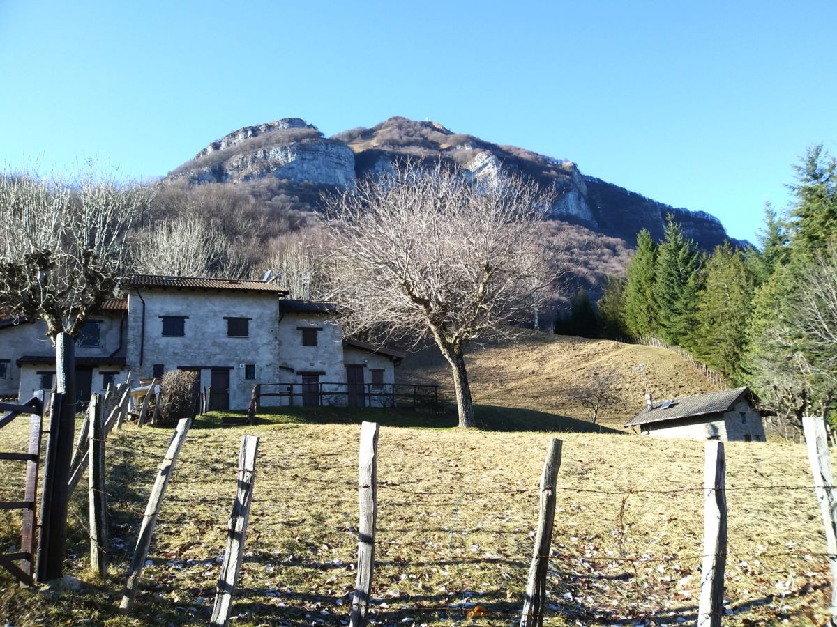
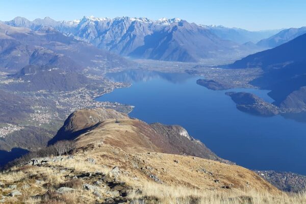
Continue along steep the cart track that leads through the woods to the area called Mié. From here, following the trail of the “Via dei Monti Lariani” the cart track climbs up in bends to the beautiful pastures of Monti di Nava (848 m) at the foot of Monte Crocione (1641 m).
The old Roman road “L’antica Strada Regina”, one of the main connection roads with the alpine passes, used to lead over Nava down to Griante.
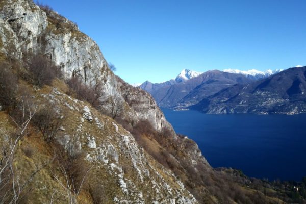
The now even track runs through the valley between Monte Crocione and the Dossone. Near the last houses of Monti di Nava leave the “Via dei Monti Lariani” and pick up the trail (sign Griante) to the left. The track leads down in wide bends with a most beautiful view of the peninsula of Lavedo and the towns of Tremezzo, Mezzegra and Lenno.
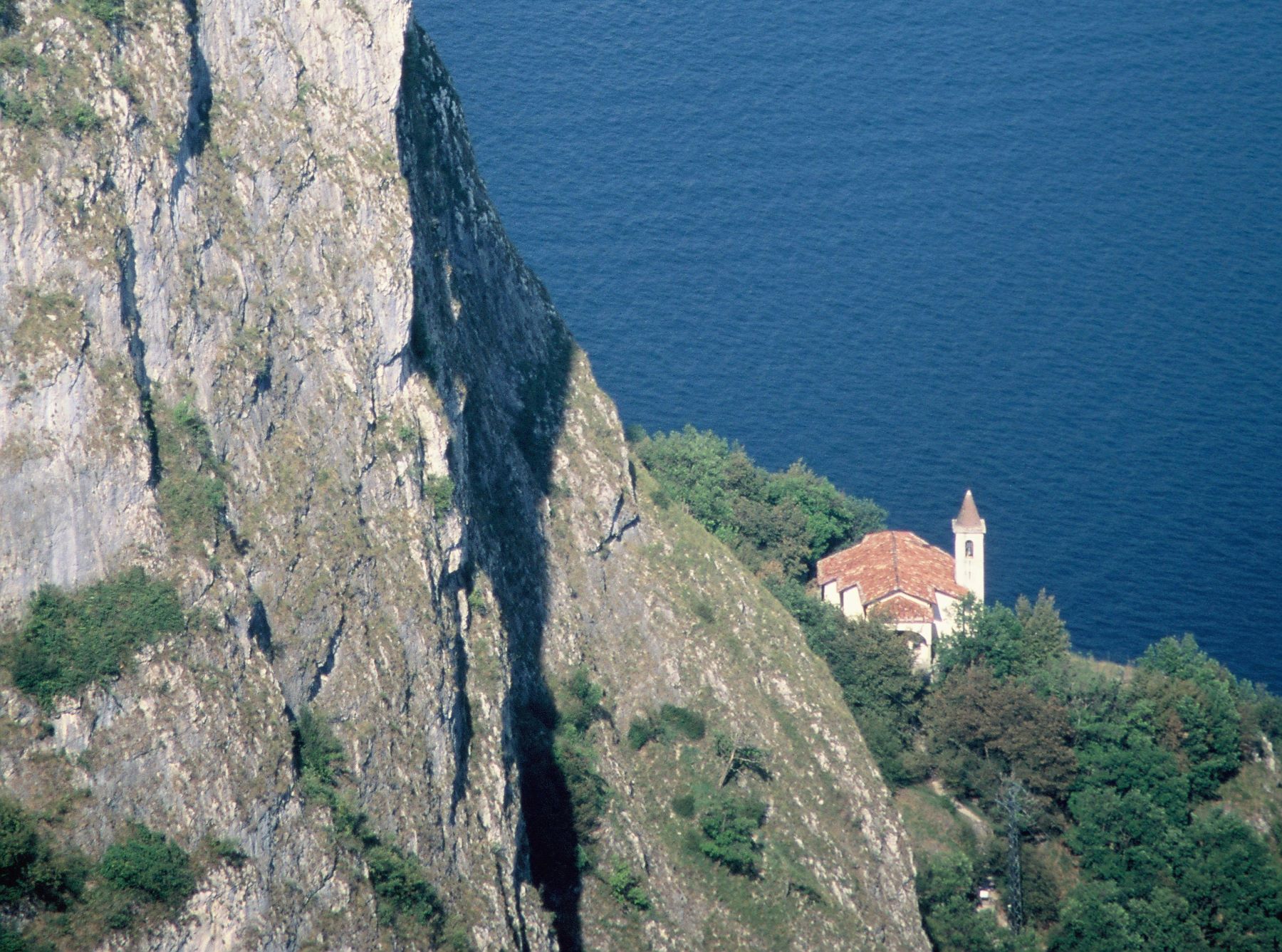
The trail then turns to the slope above Griante with a splendid view of Sasso San Martino and its little church. The church of St. Martino was built in the sixteenth century.
You pass the deviation for the “Cappella degli Alpini” (reachable in 10 minutes) and shortly after you arrive at a fork where you keep left.
The track ends up on a road that connects Rogaro with Griante; turn left in the direction of Griante and walk through the beautiful Rogaro plain passing a splendid olive grove on your left. At the point where the road begins a steep descent (sign 15%), take the flight of steps on the right that leads down to the oratory of S. Rocco.
In front of the oratory turn right, thus entering the historic core of Griante with its beautiful 17th and 18th century palaces. Continuing straight on along via Tommaso Grossi, you reach the parish church of SS. Nabore and Felice built in the first half of the seventeenth century.
Just past the church, turn left and follow via Franzani, which ends onto via Indipendenza. Cross it and walk along the pedestrian street that leads down towards the lake where it ends between Hotel Riviera and Hotel Britannia. On the opposite side of the main road 340 connecting Como to Menaggio, you find the bus stop.
Directions & Parking
Parking
Parking possibility in Via San Rocco
By public transport
From Menaggio to Croce bus C12, from Griante to Menaggio by bus C10.
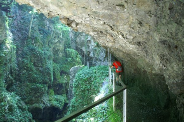
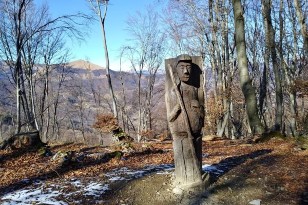
Gallery