[Skip to main content]

The valleys above Gravedona

Itineraries by car through the valleys

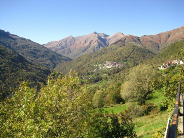
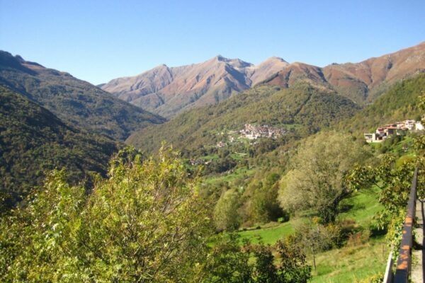
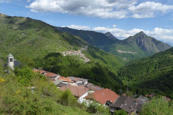
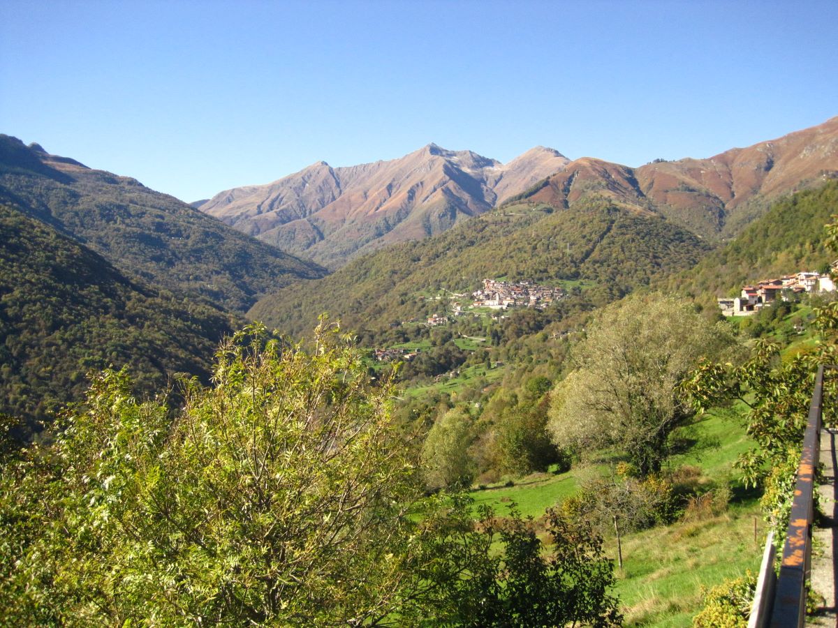
The mountain villages Peglio, Livo and Dosso del Liro are situated in the valleys above Gravedona. They still largely retain the original urban structure and rustic houses. From these villages it is possible to hike to the surrounding slopes in areas which are still isolated and living on the rural economy of the alpine pastures.

Route: Menaggio –  Gravedona – Peglio – Livo – Dosso del Liro – Menaggio 54 km.
Description

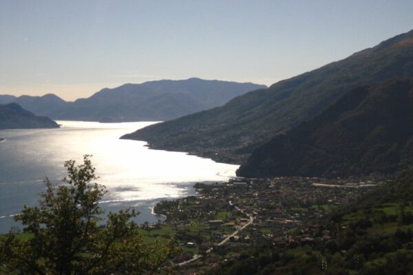
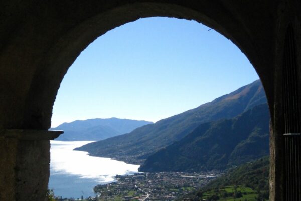
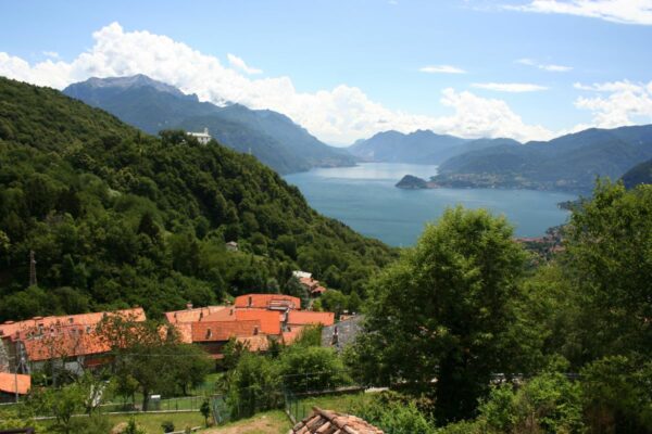
Starting from Menaggio, take the Statale 340 up to Gravedona ed Uniti. At Gravedona, take the SP4 provincial road for Livo, Peglio, Dosso del Liro. The road winds its way up offering a wonderful view of the lake.

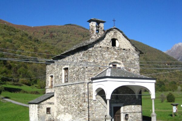
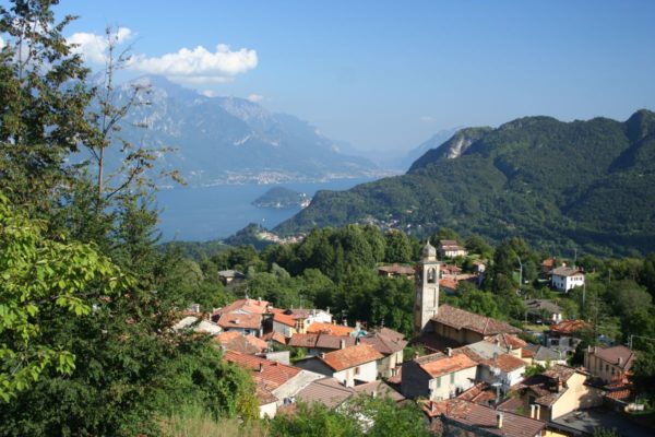
After 3 km you reach Peglio (665 m above sea level). A few hundred meters before the village, is the interesting complex of S. Eusebio that consists in  a church, a portico, an ossuary, a rectory and a cemetery.
Inside the church there are noteworthy frescoes by Mauro della Rovere, known as Fiammenghino, one of the leading painters of Lombardy between the 16th and 17th century. The view from the churchyard spans the entire north lake area and the Liro Valley.


Back in the car we enter the village of Peglio where you still find numerous rustic houses and some devotional frescoes on the outside walls of the buildings.
You then cross the plain of Gorghigli with the small oratory of the Madonna dei Gorghigli on the left.

A mountain road starts from the oratory (it is mandatory to pay a toll of 1 euro at the ticket machine installed outside the town hall of Peglio) which, in 7 km, leads to Bodone, a large pasture above the lake and the starting point for the climb to Mount Duria (2264 m above sea level).

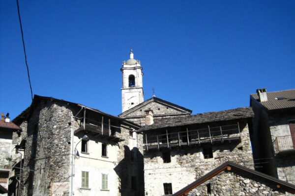
Continueing across the plain, you arrive at the village of Livo (655 m). The village still retains most of its original urban layout wih its rustic houses in stone. You can’t miss a walk along the narrow cobbled streets, breathing in the rural atmosphere of times gone by. You can park near the town hall.

Starting from 1600, due to the difficult economic conditions, this area saw a strong emigration towards Sicily. For this reason, the traditional costume of the women of the region, called moncecche, was imported with the cult of St. Rosalia of Palermo. In the parish church of S. Giacomo there is a chapel dedicated to S. Rosalia of Palermo, financed by the group of immigrants from Palermo.

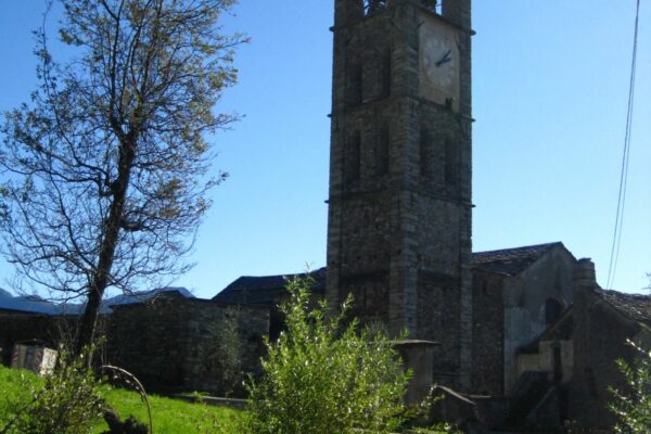
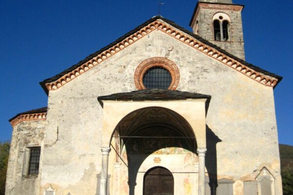
Just outside the village, near the cemetery, is the 15th century church of S. Giacomo Vecchia. It features a magnificent apse decorated with 15th century frescoes.

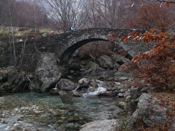
The beautiful ancient stone bridge at Dangri on the way to Lake Darengo
Ponte Dangri

From here you can continue on foot (50 minutes) to Dangri on a cart track lined with chestnut trees. Here there is a crotto (a small typical restaurant) near a characteristic ancient stone bridge over the river. Dangri is the starting point for the hike to the magnificent Alpine lake Darengo  (4 hours’ walk) at 1800 m above sea level.

Return to Peglio, drive down to the crossroads and take the road on the right to Dosso del Liro. This rural village is located in the Liro valley. We recommend walking along the narrow cobbled streets lined by multi-storey rustic stone houses. Also  the village Dosso del Liro is a good starting point for beautiful hikes such as to Rifugio Vincino (1168 m), to Monte Cardinello (2521 m) or to Monte Piaghedo (1454 m).

The village, like the villages of Peglio and Livo, lies on the Via dei Monti Lariani, a 125 km trekking route which, from Cernobbio, leads to Sorico, following mule tracks and paths that connect the Monti (“Munt”), small rural agglomerations scattered along the mountains on the western shore of the lake.

Outside the centre of Dosso del Liro, accessible only on foot, is the ancient parish church of San Pietro in Costa. Documented since 1328, its foundation is certainly older, as evidenced by the Romanesque apse.


Directions & Parking

Map directions →