[Skip to main content]
Lake Piano nature reserve

Lago di Piano

Hikes

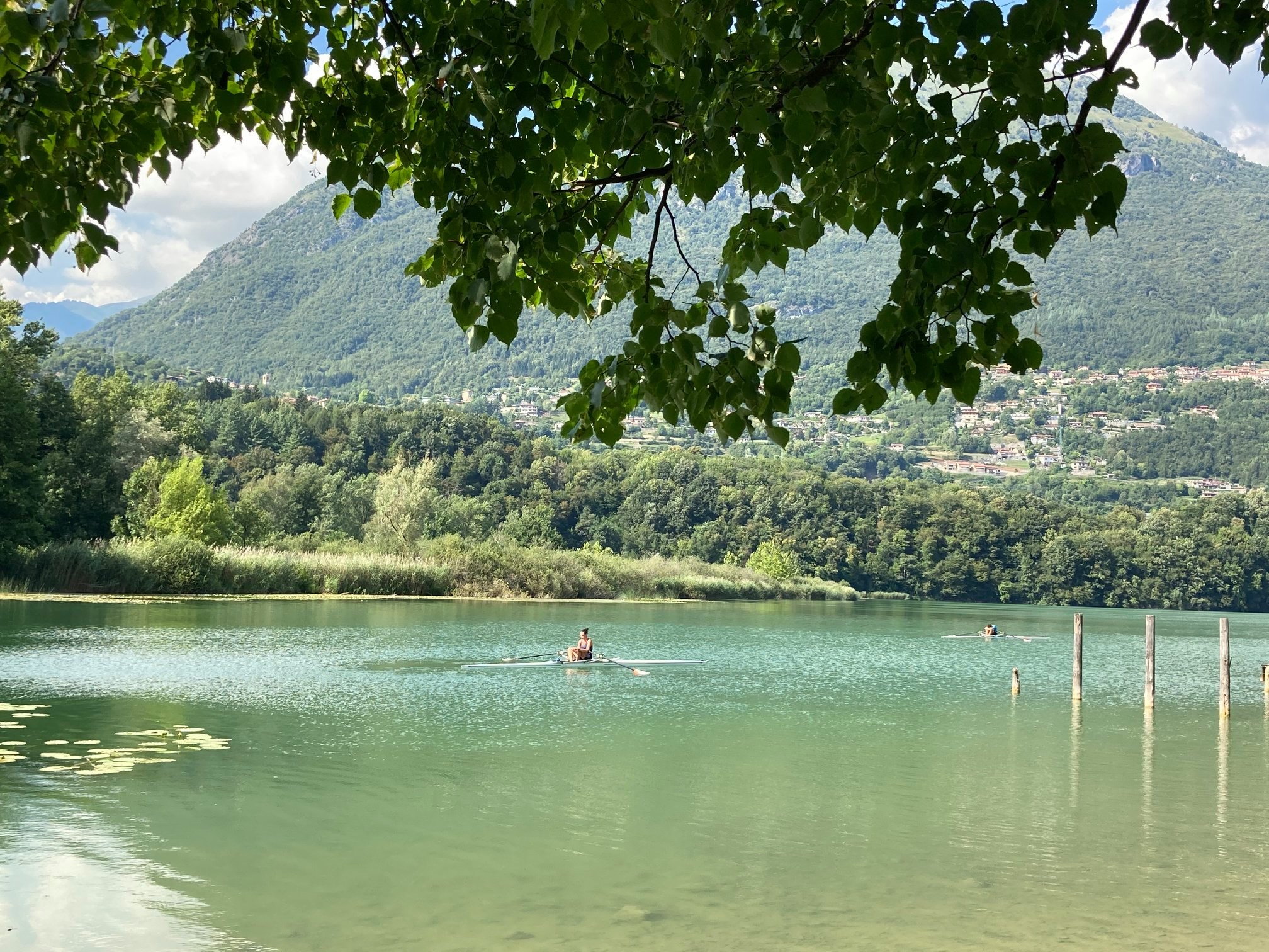
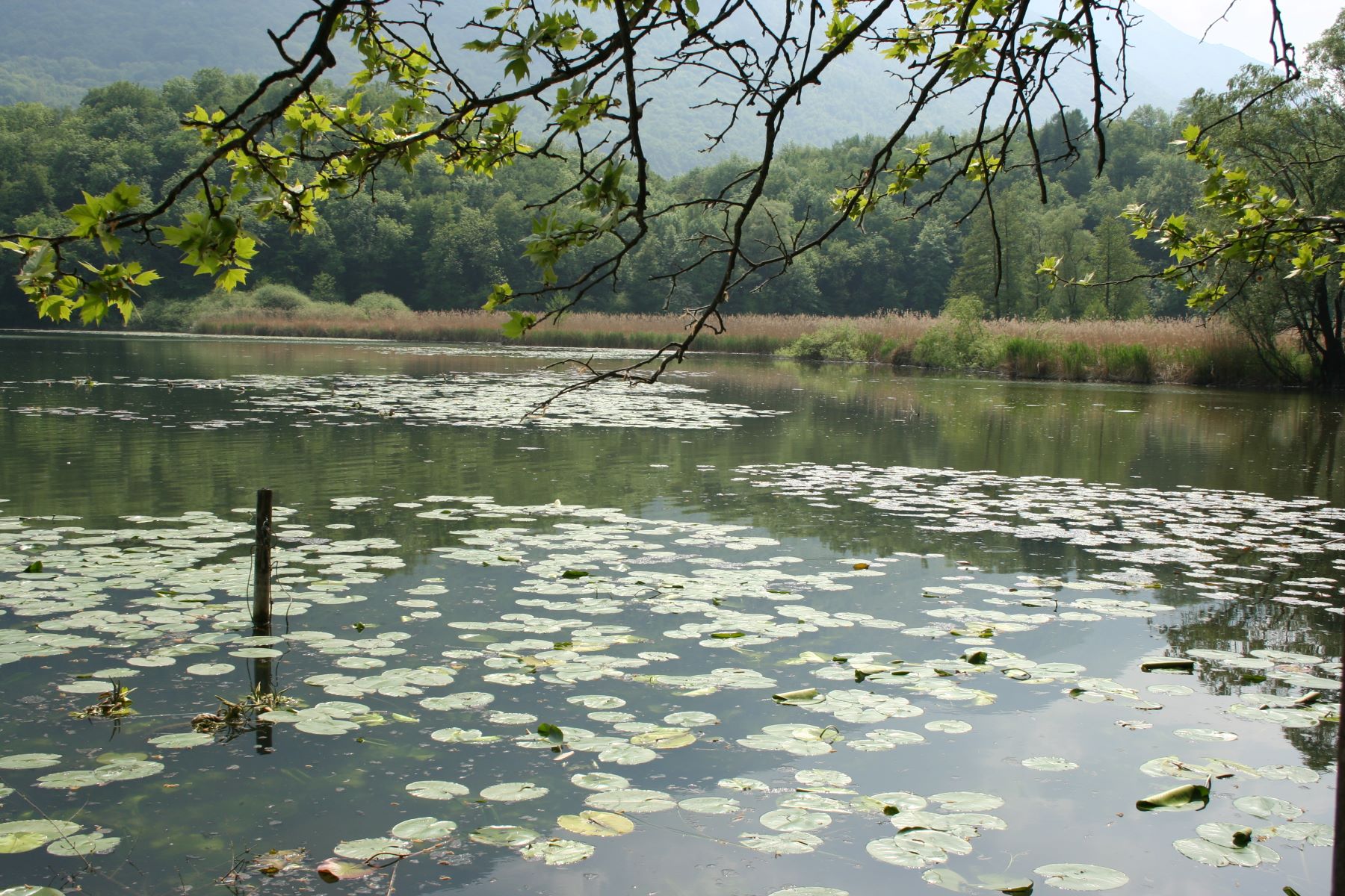
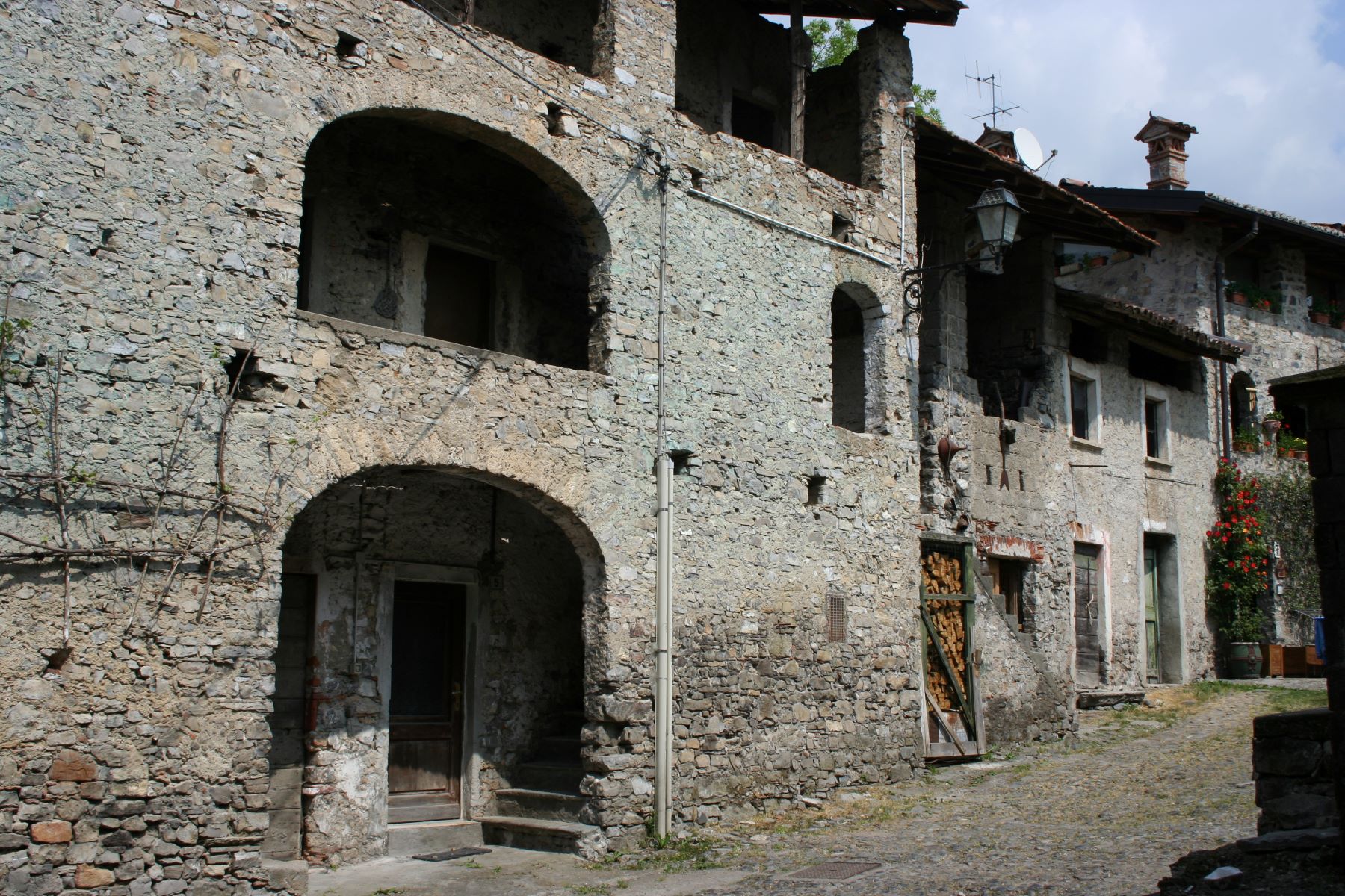
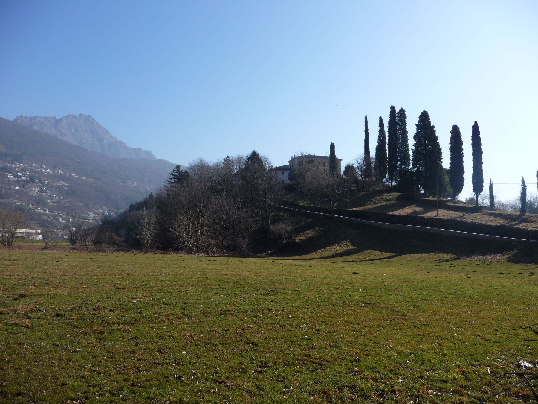
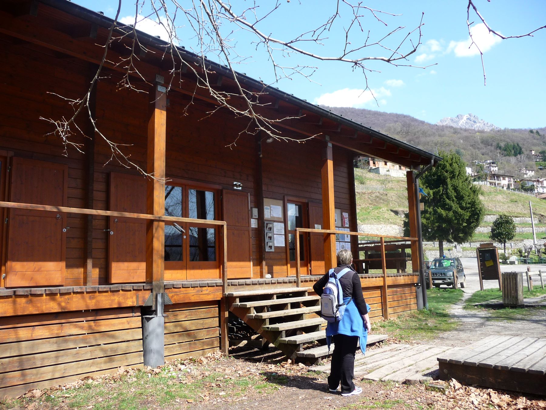
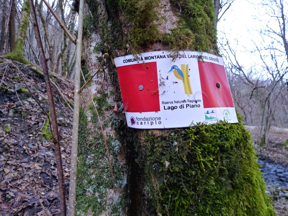
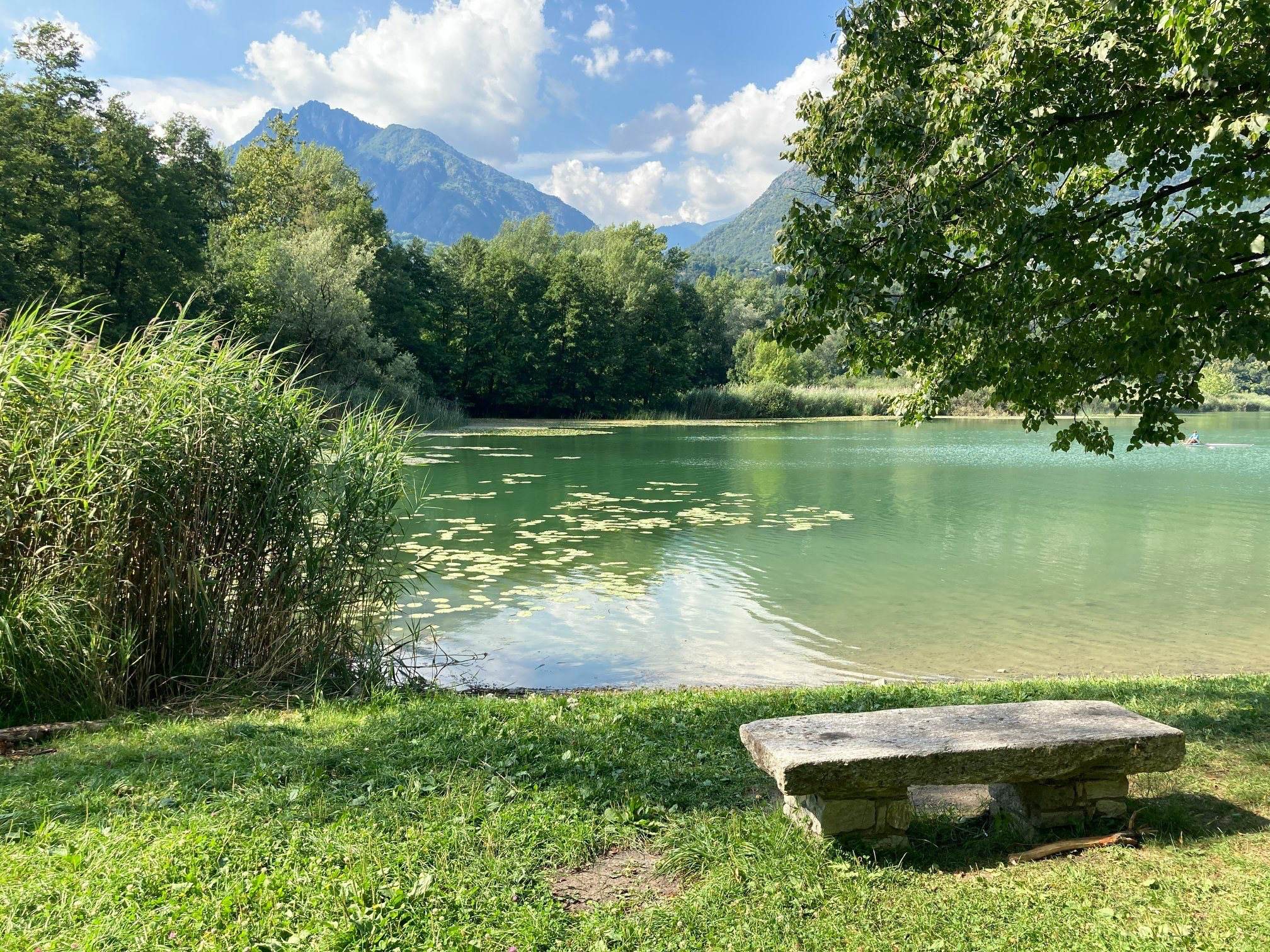
Lake Piano is  situated in the Val Menaggio between Lake Como and Lake Lugano. It  is a protected regional nature reserve and a breeding place for many types of water birds. This easy circular walk around the small lake leads along the foot of Monte Galbiga through woods and fields. You can visit the medieval village called Castel S. Pietro located on the drumlin called Brione. You complete the circular walk around the lake along the former train line between Porlezza and Menaggio, suppressed in 1939.


Description

From the bus stop La Santa, walk to the little church La Santa and go down the steps which lead down the paved road. Follow the sign for Bene Lario. Ignore the cart track to Portaiola – Antichi Mulini and pick up the road which leads uphill to the centre of Bene Lario and passes below the church of SS Vito and Modesto. You reach Piazza Comunale and along Via Cavour you arrive in Piazza Garibaldi.

Here you pick up Via del Torchio on the right, which soon becomes a cart track. It leads (at the forks keep right) to the old wash basin called Lavatoio del Lembra. Here in the past the housewives of Bene Lario used to wash their linene because the springwatere was never too cold. Along the course of the  Lembra stream you reach Antichi Mulini (sign) where the protected oasis of Lago di Piano begins. This archtectual complex, partially renovated, used to receive the energy it required from the channeled waters of the Lembra washbasin.
Continue to the left. The trail offers a view of the large bed of reed, enters the woods, and reaches the southern shore of the lake . The marshland is an ideal breeding place for water birds. During the autumn and Spring there are various migratory birds such as the Marsh Harrier and the Pochard.   Among the aquatic species the most easily to be observed are the Mallard, the Coot, the Moorhen, the Mute Swan, the Gray Heron and the Great Grebe.

Lake Piano was formed during the last glaciations of the Quaternary. A branch of the Abduano glacier (which shaped the crevice of Lake Como), crept towards the Lugano area; it eroded the sides of the mountains by depositing the lateral moraines and invaded the Val Cavargna and Val Rezzo. The plain was thus modeled in a typical U-shaped open glacial valley, the now so called Val Menaggio.  After the defrost, a single lake body occupied the basin originated by the erosive action of the glaciers, but from Val Cavargna and Val Rezzo a strong flow of detrital materials, clay and sand created a plain that separated the waters of the current Lake Lugano from those of a small lake, Lake Piano!

After 500 m you leave the banks of the lake and follow the uphill trail to the left that ends on a large cart-track that you follow to the right. You pass the Naturalistic Observatory  a botanic walk on a wooden walkway and a laboratory pond. Continuing along the trail you pass the area of the former camp site ok la Rivetta. At the end of this area a track to the right closed by a bar, leads to a lovely public beach called la Rivetta.

Return on your footsteps and continue ca. 300 m on the tarred road and then turn right. After ca. 500 m on the right you see a “drumlin”  called Brione with on its top the settlement Castel San Pietro. Follow the small road leading up to the old settlement with its houses clustered close to each other and with only one entrance closed by a gate. The stone wall, the small arched windows, the narrow passages give the idea of a fortress, what it used be in the Middle Ages.

Turn back on your footsteps and turn right and then once more to the right in order to pick up the cycle footpath that leads to the visitors’ centre the Casa della Riserva tel. +39 0344 74961 with picnic tables, an information office and a small ecomuseum.
The path follows the itinerary of the former train line between Porlezza and Menaggio suppressed in 1939 and now converted into a cycle and footpath.

The rail way line between Menaggio and Porlezza was opened in 1884 in order to attract more tourists from northern Europe to the area. Arriving by train to Lugano the tourists were then transported by steam boat to Porlezza from where the train brought them to Menaggio. After the first World War it became a simple working class transit system  also  transporting wood from Monte Galbiga and ice from Lake Piano. After the Second World War the train line was abandoned.

From the visitors’ centre follow the lake and just past the entrance of campsite Ranocchio, turn right in order to continue on the cycle/footpath in the direction of Bene Lario. At the end of the cycle path you reach the crossroad you passed at the beginning of this walk and you follow again the steps to the left in order to return to the bus stop at “La Santa”. If you wish you can continue your way along the former railway line back to Menaggio (5 km).


Directions & Parking

Map directions →

Parking

Parking possibilty at the village Bene Lario

By public transport

La Santa (5 km from Menaggio) can be reached by bus line C12 (Menaggio – Lugano).