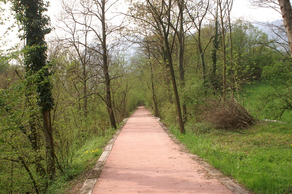
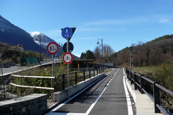
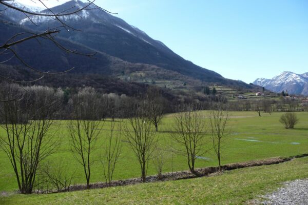
This itinerary follows the traces of the former railway line that ran between Menaggio and Porlezza which connected Lake Como with Lake Lugano. The route runs through the Val Menaggio and touches the Val Sanagra and the Lago di Piano Nature Reserve. It can be followed on foot or, even better, by bike. It should be noted that some small sections run along roads used by local traffic.
Description
The rail way line between Menaggio and Porlezza was opened in 1884 in order to attract more tourists from northern Europe to the area. Arriving by train to Lugano the tourists were then transported by steam boat to Porlezza from where the train brought them to Menaggio. After the first World War it became a simple working class transit system that lasted till 1939. After the Second World War the train line was abandoned.
Route: The former railway station of Menaggio is in via IV Novembre, where today the grocery store called Il Consorzio Agarario stands, just next to the ferry dock. This is where this itinerary starts. Cross via IV Novembre and from the petrol station follow the indications leading to the Youth Hostel. From here continue straight on and, after 500m at the bifurcation, turn right and ascend the steep road that gradually flattens out and leads along the side of Monte Crocetta.
In order to clear the difference in altitude between Menaggio (207 m) and Cardano (377 m), the track headed south for about 600 m with a gradient of 5%; the train would then reverse its direction (thanks to a railway turntable) and continue northwards.
At the bifurcation continue straight on along via Privata F.lli Castelli and follow the elevated road over a few small valleys. Just past a new “residence” the via Privata Fratelli Castelli ends on the main State road 340 which connects Menaggio with Lugano. Cross it, while paying attention to the heavy traffic, and follow it to the left, uphill, for just 50m.
At the next bend pick up the cycle/footpath. The first part of the track requires some attention as it is also accessible by cars until you come to a roundabout followed by a rest area equipped with a fountain and some benches.
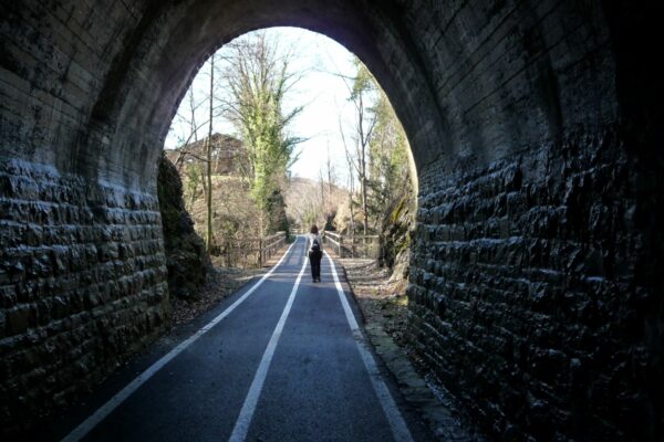
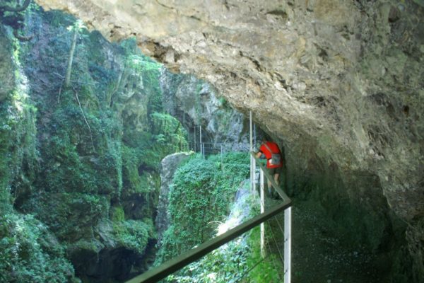
The track enters the Val Sanagra and passes a 90 m long tunnel. You will then arrive at Cardano (377 m) in the commune of Grandola ed Uniti. You end on a small road. Continue to the left (to the right the road leads down to the Agriturismo la Barcola) along the track which, shortly ahead, is interrupted by the SP road of Grandola.
There are two alternatives to be able to join the continuation of the track:
- Take a left and from the Bar Stazione continue along the sidewalk along the main road until you pass the gas station that stands on the opposite side of the road, then cross the road with caution and follow the signs to Bene Lario / Grona and after 200m pick up the cycle footpath on the right.
- Turn right in order to reach the beautiful centre of the old village of Cardano gathered around the splendid Villa Bagatti Valsecchi. After passing the church you will once again reach the road Sp Grandola. Cross it and pick up via Milano to Gonte. After approx. 400m turn left onto the Via Cascinello Rosso that finishes after another 400 m on the state road 340. Cross it with caution and follow the signs for Bene Lario / Grona and after 200m pick up the cycle footpath on the right.
You skirt a plain called Binadone flanked by the woody slopes of Monte Crocione and Monte Galbiga. Near the village of Grona the track stops. Continue to the right along via Cascine which, after a few hundred meters, ends up in Artigianato e Industrie.
When you get to an intersection, take the pedestrian and cycle track right in front of you (sign for Lago di Piano).
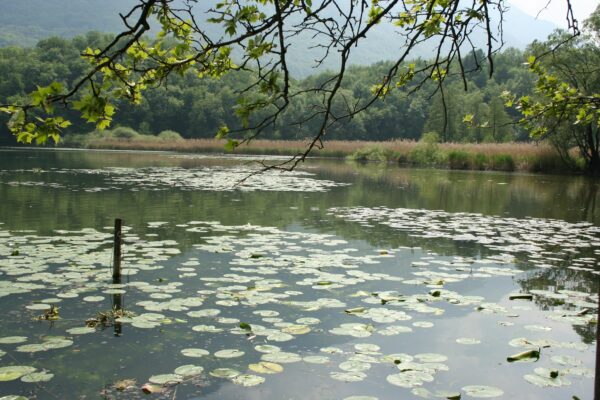
After a relaxing stretch through the woods you enter the Nature Reserve Lago di Piano. You pass behind the campsite Ranocchio and just past its entrance you continue along the little lake called Lago di Piano. Soon you reach the visitor centre La Casa della Riserva with an information office and a small eco-museum (for information tel. 0344 74961). In front of the office there are some nice picnic tables with view of the lake.
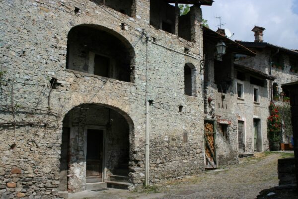
Next comes a short unattractive stretch among some small industrial buildings. The track becomes un-tarred and on the left you notice the hillock called Brione with the Castel S. Pietro at its top. We recommend a small detour in order to visit this old settlement with its houses clustered close to each other. The stone wall and the narrow passages give the
idea of a fortress, which is what it used to be in the Middle Ages.
Continuing on the track you will cross a beautiful wooden bridge over the river Cuccio. Follow the course of the river until you reach the main road SP14. Continue to the right for approximately 100 m and then cross the main road and turn into Via Prati that leads to the residential complex called “Porto Letizia.” On the left side of the main building which hosts the reception take the path that skirts Lake Lugano. After crossing the bridge over the River Val Rezzo, go down some steps to resume the continuation of the lake side promenade that leads to the center of Porlezza where there is a bus stop.
Directions & Parking
By public transport
Menaggio is connected with Porlezza with bus line C12 (buses do not carry bikes).
