[Skip to main content]

Rifugio la Canua

Cycling

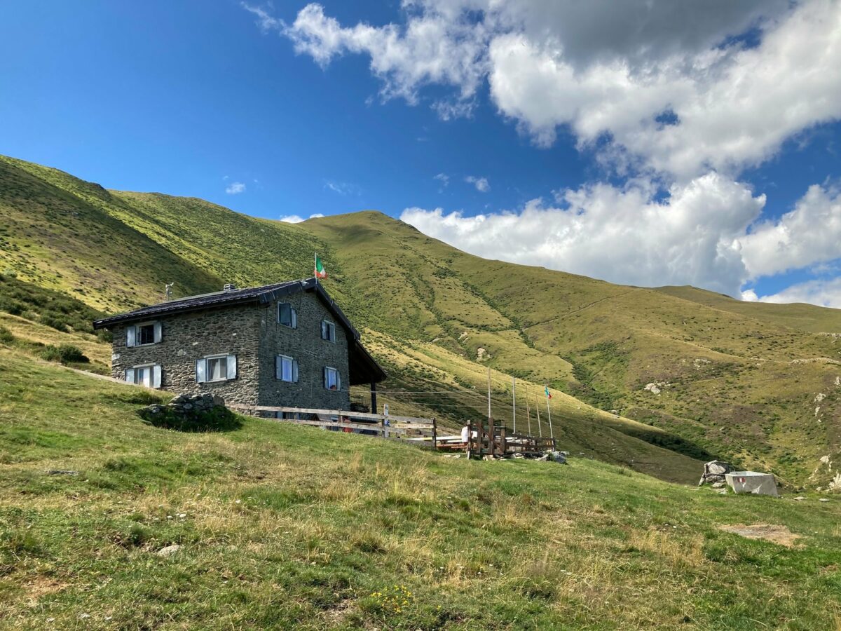
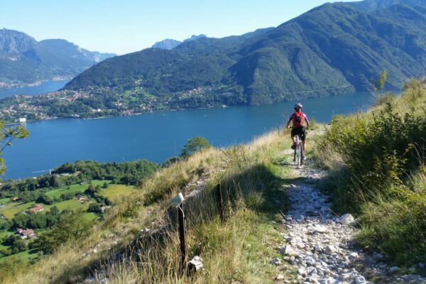
This magnificent route leads from San Siro loc. S Maria 200 m, along a small mountain road with little traffic to the Monti di Zanatta (alt. 1100 m). From here the dirt road to the vast pastures of Alpe Rescanscia (alt. 1413 m) starts. From the farmhouse a path with a breathtaking view leads to rifugio La Canua (alt. 1520 m).  From the mountain hut you descend along a path and then dirt road to the Monti di Piazzucco and from there along the mountain road to Cremia from where you cycle back to Menaggio. This route, by normal mountain bike, requires a great physical preparation.

Itinerary: Menaggio – San Siro – Alpe di Zanatta – Alpe Rescanscia – Rifugio la Canua – Monti di Piazzuco – Monti Marte – Somaina – Cremia
Description

From Menaggio’s central square, Piazza Garibaldi, follow the long lake side road Via B. Castelli to the Lido of Menaggio, and then continue left along Via Roma which comes out onto Via Diaz. Continue to the right and at the entrance of the tunnel, take the pedestrian-cycle path. It ends again onto via A. Diaz that leads through the village Nobiallo.

At the entrance of the next tunnel, pick up the segment of the former state. Taking advantage of other 3 segments of the former state road you arrive at the commune of San Siro. At the village S. Maria  at the church S.Maria, you leave the lake side road and start the climb leading to the Monti. Initially follow the directions for the locality La Torre, and then for Roncate. In the beginning the road ascends quite mildly, and passes near the villages of Soriano and Lucena. When you reach the biforcation and the indication for Treccione, turn right and continue the climb following the signs for Monti di Gallio.

Without ever taking other detours you proceed uphill, with very sustained inclinations, until you reach the houses of Zanatta alt. 1100 m (about 9 km) a large open space. From Alpe di Zanatta, you proceed on the paved road towards the last buildings where the paved road finishes and the dirt road starts. The whole second part of the climb develops along a wide cart track, with a compact surface.

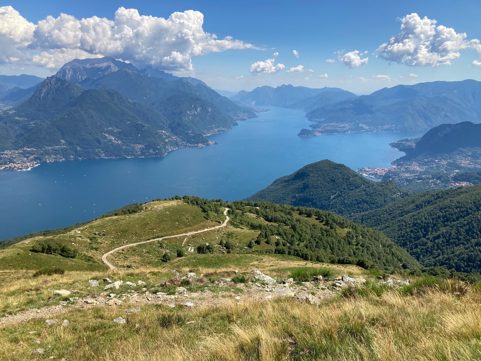
View from Alpe Rescanscia

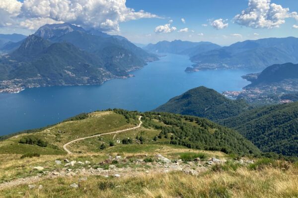
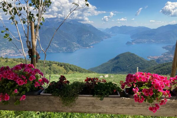
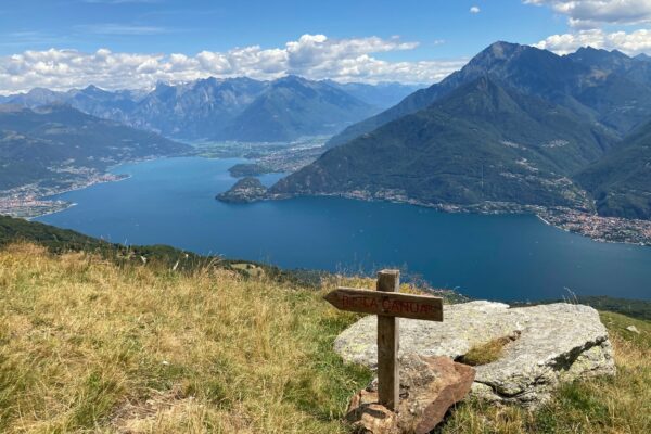
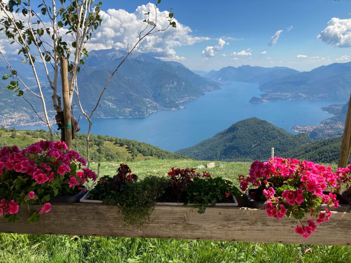
You arrive at the Alpe Rescascia 1413 m. Pick up the trail that starts above the farmhouse in the direction of rifugio la Canua. After a brief ascending stretch where you have to push your bike, the view opens onto the “Alto Lario”, the northern end of the lake. You can see the Bay of Piona with Monte Legnone (alt. 2609 m) towering above on the eastern shore and towards the north the range of the Rhaetian Alps, the small lake of Mezzola, and the mouth of the river Mera.

The well-defined path leads along the slope of Monte Bregagno to rifugio la Canua alt. 1520 m. From the hut go down slightly to the left (looking at the lake) until you reach the path track signed with red white red paint, that ends onto a dirt which descends to the Monti di Piazzucco 1170 m. From here, you continue along the dirt track to Monti Marte alt. 800 m from where the now paved mountain road descends Stomaina. From here you descend down to the lake side road to Cremia. From Cremia, loc San Vito, continue along the state road 340 for approx. 800 m and then enter via Statale Vecchia (careful crossing) on the left side of the tunnel which leads to the hamlet of Rezzonico. From here you cycle back to Menaggio.

Alternative itinerary: approach by car from Menaggio along state road 340 to Santa Maria (commune San Siro) and as far as Alpe Zanatta (read above) to the point where the paved road finishes. From here you follow the dirt track to Alpe Rescanscia 1413 m and from there continue on the track as far as Alpe Nedale 1606 m (5 km one way) with a total ascent of 524 m. Splendid views .


Directions & Parking

Map directions →

Gallery