[Vai al contenuto principale]

Antica Strada Regina

Point of Historical Interest

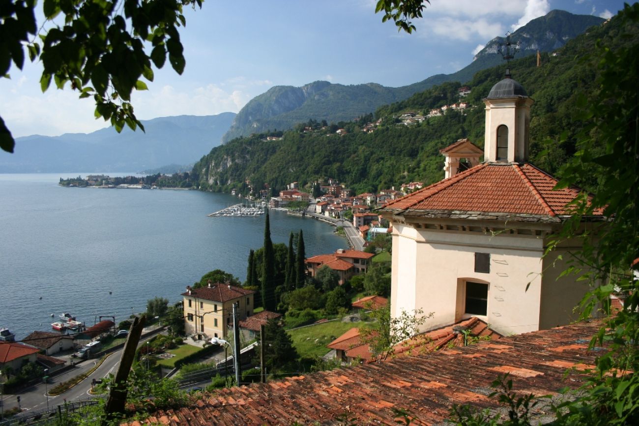
The Antica Strada Regina, which ran along the western shore of the lake, was drawn in Roman times and was one of the most important transit routes, because it allowed a rapid connection between the Po Valley and the transalpine region.

The route of this Roman royal road from the Sanctuary of Madonna della Pace, the historic centre of Nobiallo, climbs up the Sasso Rancio to reach San Siro (formerly Santa Maria Rezzonico).

Descrizione

For centuries, the Antica Strada Regina was the link between the south and north of the Alps, between the Como and Milan areas and the transalpine regions.

Experts of the ancient Queen claim that the medieval road passed upstream, at the base of Borgo Castello and under the first rocky cliffs, passing the Senagra and climbing towards Loveno.

The route of the historic road, which arrives (from Loveno) in Nobiallo, wedges between the medieval-style streets, touches the church of S.S. Bartolomeo and Nicolò with its impressive leaning bell tower and reaches the paved square.
From here begins the path that runs along the slopes of the mountain and runs almost flat over vegetable gardens and terraced gardens until you reach the bridge (built in the fourteenth century) which anticipates the climb of Sasso Rancio. The bridge (h. 240 m) located on the stream which descends from the Valle del Miro, is one of the most beautiful of those left along the Via Regina. It is also called "of the Madonna'' because it gives access to the spectacular Sanctuary of the Madonna della Pace.

The route of the Antica Strada Regina continues towards the Sasso Rancio, a mule track of probable medieval origin, with steps carved into the ferruginous rock ( from here the name Sasso Rancio), and leads to San Siro (ex Santa Maria Rezzonico).
The route was made safe by the Mountain Community of the Lepontine Alps on the occasion of the Jubilee of the year 2000.

Questo contenuto è stato originariamente pubblicato su mylakecomo.co.